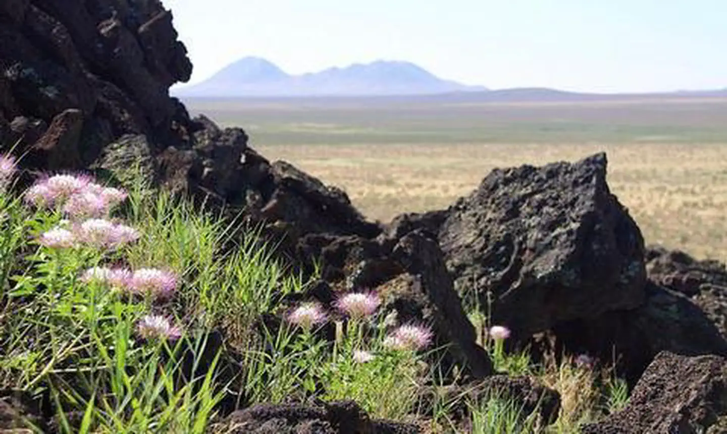

About Aden Lava Flow Wilderness Study Area
The Aden Lava Flow WSA is located 20 miles southwest of Las Cruces in the Chihuahuan Desert. The area is characterized by basalt flows, volcanic craters, and coppice sand dunes. The lava flow includes pressure ridges, lava tubes, and steep-walled depressions of up to 100 feet wide. Grass and shrubs grow on the flow with many cacti and yucca. Vegetation consists of grasslands and desert shrubs such as mesquite and creosote. Vent tubes, and the many crevices found in the lava, provide cover and den sites for wildlife. Bats are numerous and the rock pocket mouse and black-tailed rattlesnake are found on the black lava flows. Per the John D. Dingell, Jr. Conservation, Management, and Recreation Act which became law on March 12, 2019, this web page is currently being updated. To find more infor
Things to do
When to go
Weather data & source
Each figure averages the highlighted months. 2018–2023 averages, not a forecast. Wet days estimate days with at least 1 mm of rain or snow using a calibrated ERA5 threshold. Contains modified Copernicus Climate Change Service information. Weather data by Open-Meteo.com (AWS Open Data, CC BY 4.0). ERA5 via Open-Meteo AWS Open Data
Plan your visit
Aden Lava Flow Wilderness Study Area is managed by Bureau of Land Management. Check current conditions, permits, and reservations before you go.
See it on Recreation.gov →