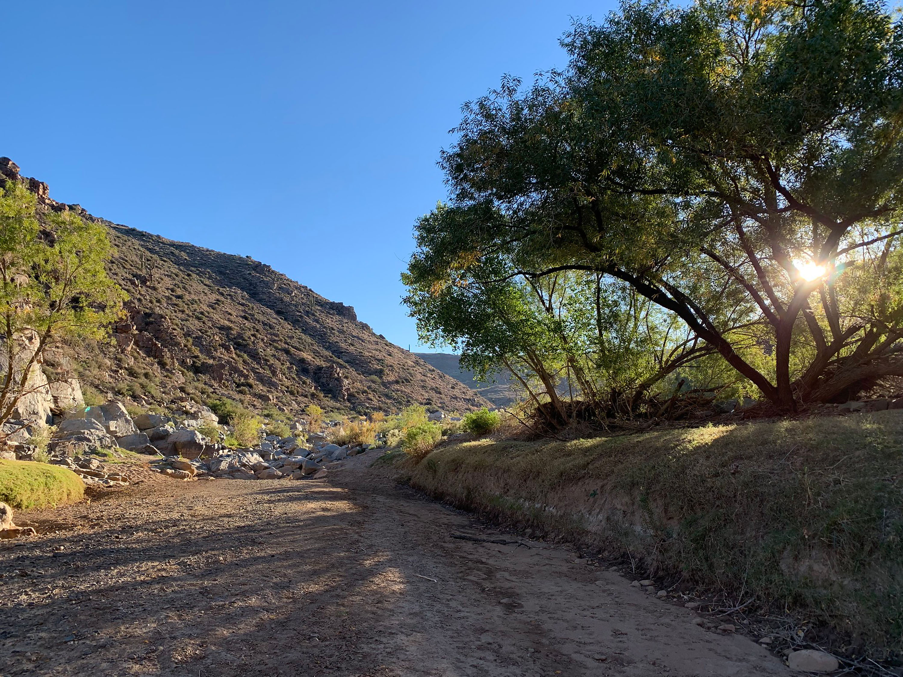

About Agua Fria National Monument
Plan Your Visit Visitors to Agua Fria National Monument can hike in rugged landscapes, view rock art, and experience wide‑open desert vistas with few built facilities. Because the area is remote and minimally serviced, visitors should plan ahead and be prepared for changing weather and rough roads. Things to Do Hike and explore : Walk sandy washes and rocky routes to river corridors and mesa‑top dwellings. Trails are mostly undeveloped; carry plenty of water and wear sturdy footwear. View cultural sites : Visit mesa‑top pueblos and petroglyph panels. Look, photograph, and leave artifacts in place. Featured sites include: Badger Springs Trailhead : Short route down Badger Springs Wash to the Agua Fria River and a petroglyph panel at the confluence. Pueblo La Plata Cultural Site : A large me
Things to do
When to go
Weather data & source
Each figure averages the highlighted months. 2018–2023 averages, not a forecast. Wet days estimate days with at least 1 mm of rain or snow using a calibrated ERA5 threshold. Contains modified Copernicus Climate Change Service information. Weather data by Open-Meteo.com (AWS Open Data, CC BY 4.0). ERA5 via Open-Meteo AWS Open Data
Plan your visit
Agua Fria National Monument is managed by Bureau of Land Management. Check current conditions, permits, and reservations before you go.
See it on Recreation.gov →