
About Antelope Wilderness Study Area
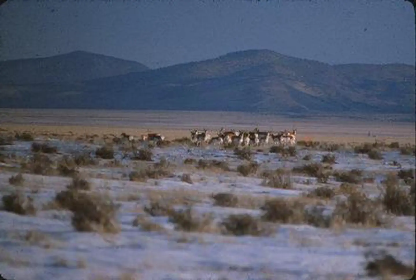
The Antelope WSA is an open landscape that provides 360-degree views of rolling desert prairie. It is adjacent to the San Pasqual Wilderness, which is managed by the U.S. Fish and Wildlife Service. This area is home to both antelope and mule deer and boasts a mix of broom dalea and sand sage. The vegetation provides ideal raptor-feeding habitat.
Things to do
When to go
Weather data & source
Each figure averages the highlighted months. 2018–2023 averages, not a forecast. Wet days estimate days with at least 1 mm of rain or snow using a calibrated ERA5 threshold. Contains modified Copernicus Climate Change Service information. Weather data by Open-Meteo.com (AWS Open Data, CC BY 4.0). ERA5 via Open-Meteo AWS Open Data
Plan your visit
Antelope Wilderness Study Area is managed by Bureau of Land Management. Check current conditions, permits, and reservations before you go.
See it on Recreation.gov →