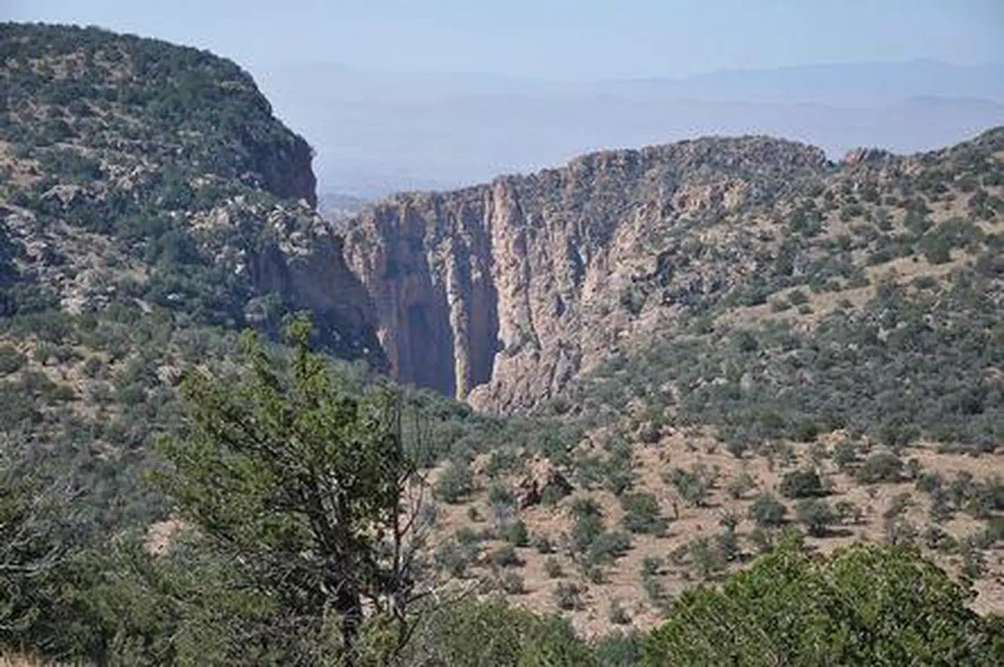

About Apache Box Wilderness Study Area
The Apache Box WSA is located in southwestern New Mexico. The namesake feature, Apache Box, is a deep narrow canyon carved by Apache Creek. Sheer cliffs rise 600 feet above the canyon floor and give way to rolling hills above the canyon. Diverse riparian trees are found in the canyon while the uplands are a mix of grassland and juniper and piñon woodlands, with occasional ponderosa stands on northern aspects.
Things to do
When to go
Weather data & source
Each figure averages the highlighted months. 2018–2023 averages, not a forecast. Wet days estimate days with at least 1 mm of rain or snow using a calibrated ERA5 threshold. Contains modified Copernicus Climate Change Service information. Weather data by Open-Meteo.com (AWS Open Data, CC BY 4.0). ERA5 via Open-Meteo AWS Open Data
Plan your visit
Apache Box Wilderness Study Area is managed by Bureau of Land Management. Check current conditions, permits, and reservations before you go.
See it on Recreation.gov →