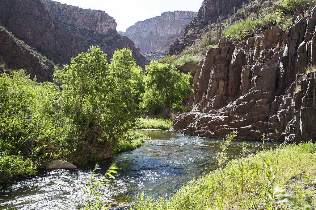

About Aravaipa Canyon Wilderness
With towering cliffs, flowing water and a rich diversity of flora and fauna, Aravaipa Canyon Wilderness remains as one of Arizona's truly unique areas. Its 19,410 acres of designated wilderness beckons adventurers who yearn for solitude and scenic splendor. Located in southeast Arizona, roughly between Tucson and Phoenix, the wilderness and surrounding public and private land conserve a vital ecosystem for future generations. Aravaipa Creek flows year-round, an unusual phenomenon in the Arizona desert. Nurtured by this abundant water, large sycamore, ash, cottonwood, and willow trees flourish along the stream, flanked by other riparian vegetation. In the fall, a kaleidoscope of brilliant red and golden leaves contrasts dramatically with the surrounding Sonoran Desert landscape. The Bureau
Things to do
When to go
Weather data & source
Each figure averages the highlighted months. 2018–2023 averages, not a forecast. Wet days estimate days with at least 1 mm of rain or snow using a calibrated ERA5 threshold. Contains modified Copernicus Climate Change Service information. Weather data by Open-Meteo.com (AWS Open Data, CC BY 4.0). ERA5 via Open-Meteo AWS Open Data
Plan your visit
Aravaipa Canyon Wilderness is managed by Bureau of Land Management. Check current conditions, permits, and reservations before you go.
See it on Recreation.gov →