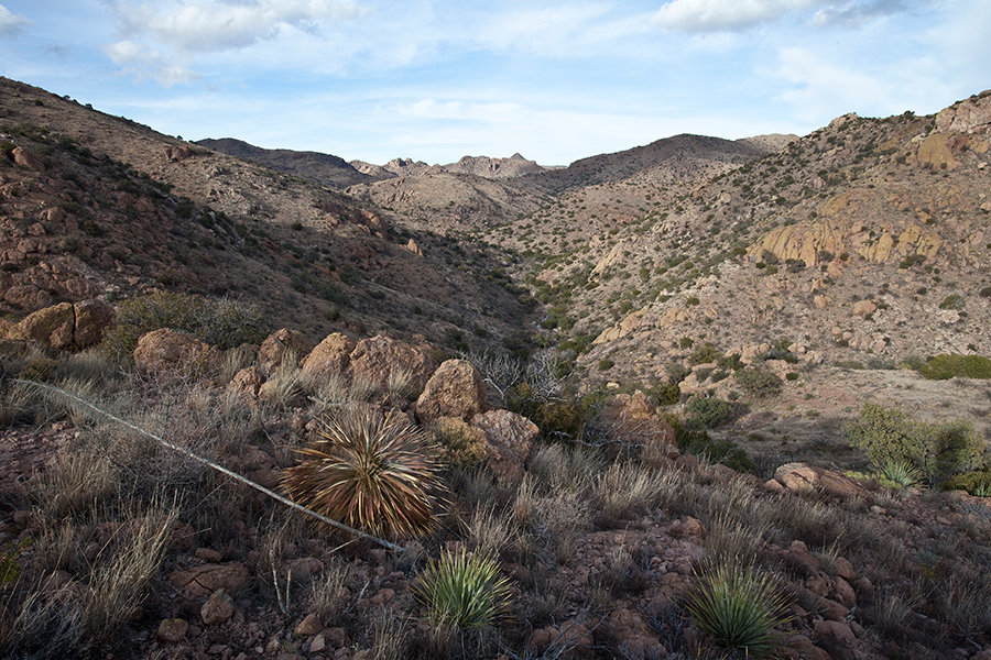

About Baker Canyon Wilderness Study Area
Located in Arizona, the 4,812-acre Baker Canyon Wilderness Study Area is managed by the Bureau of Land Management (BLM). The wilderness study area lies 30 miles east of Douglas, Arizona, in Cochise County. Baker Canyon Wilderness Study Area is unusually rich in wildlife. It is part of a wildlife corridor connecting ecosystems in Arizona, New Mexico, and Mexico. Bird life is extraordinary with unusual species of hummingbirds, trogons, turkey, and others. The wilderness study area is also home to a variety of animal species including bats, coatimundi, Coues' white-tailed deer, bobcat, mountain lion, and several species of bats. Interesting plants species, including Chihuahua pine, Mexican pinyon, and Arizona rosewood, have been identified here. Motorized equipment and equipment used for mech
Things to do
When to go
Weather data & source
Each figure averages the highlighted months. 2018–2023 averages, not a forecast. Wet days estimate days with at least 1 mm of rain or snow using a calibrated ERA5 threshold. Contains modified Copernicus Climate Change Service information. Weather data by Open-Meteo.com (AWS Open Data, CC BY 4.0). ERA5 via Open-Meteo AWS Open Data
Plan your visit
Baker Canyon Wilderness Study Area is managed by Bureau of Land Management. Check current conditions, permits, and reservations before you go.
See it on Recreation.gov →