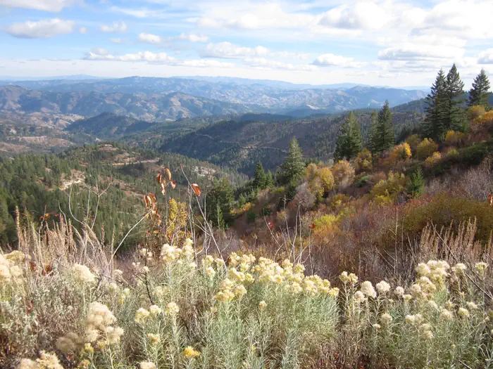

About Black Butte Wilderness Study Area
In Idaho, BLM manages more than 4,000 acres of public lands in the Black Butte Wilderness Study Area. Black Butte is an inactive volcano of recent origin (4000 to 6000 years ago) rising about 200 feet above the surrounding older lava plateau. The rugged volcanic features and desert environment have outstanding opportunities for camping, hiking, geologic study and photography. Camping and hiking can be challenging here on the rough lava and steep slopes. Some hunting also occurs primarily on the lower slopes and western part of the WSA. Recommended time to visit this area is spring and fall to avoid extreme temperatures in winter and summer.
Things to do
When to go
Weather data & source
Each figure averages the highlighted months. 2018–2023 averages, not a forecast. Wet days estimate days with at least 1 mm of rain or snow using a calibrated ERA5 threshold. Contains modified Copernicus Climate Change Service information. Weather data by Open-Meteo.com (AWS Open Data, CC BY 4.0). ERA5 via Open-Meteo AWS Open Data
Plan your visit
Black Butte Wilderness Study Area is managed by Bureau of Land Management. Check current conditions, permits, and reservations before you go.
See it on Recreation.gov →