
About Bright Star Wilderness
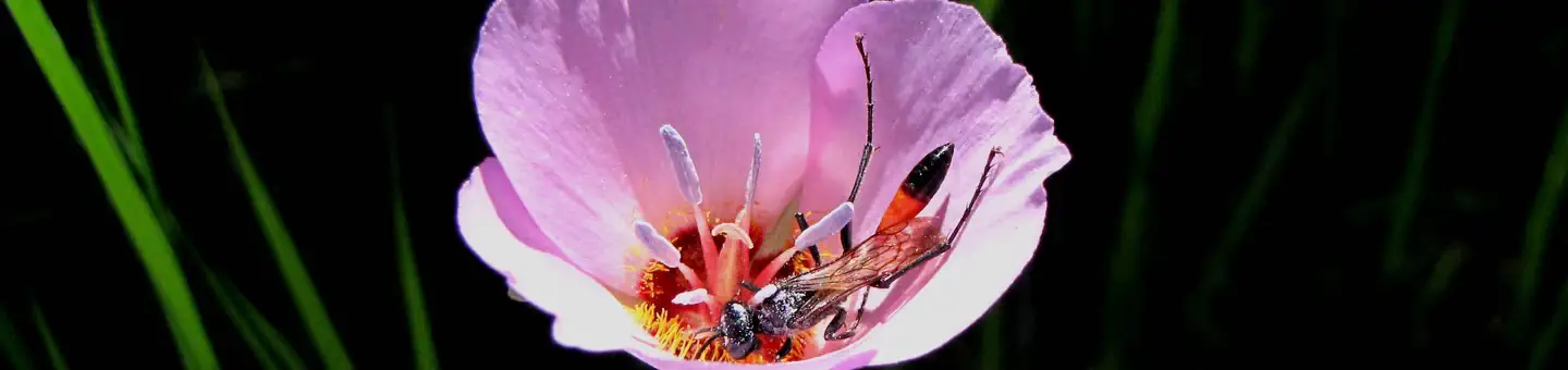
Bright Star Canyon encloses Kelso Creek and leaves Sequoia National Forest to cross the southern portion of the Bureau of Land Management's Bright Star Wilderness. In the northwestern portion, Cortez Canyon has been carved out of the Kelso Mountains. In the northeastern portion, Kelso Peak stands at 5,090 feet with drainages falling off to the north, south, and east. Elevations range from 3,000’ near the floor of Kelso Valley to over 5,800’ on the highest ridges and peaks. In mid-summer, day-time temperature can exceed 100oF before cooling off at night. In winter, higher elevations are often covered with snow and in years of adequate precipitation, wildflowers cover the slopes in stunning displays of color. The upper slopes are dotted with piñon pine and juniper, while the lower slopes are
Things to do
When to go
Weather data & source
Each figure averages the highlighted months. 2018–2023 averages, not a forecast. Wet days estimate days with at least 1 mm of rain or snow using a calibrated ERA5 threshold. Contains modified Copernicus Climate Change Service information. Weather data by Open-Meteo.com (AWS Open Data, CC BY 4.0). ERA5 via Open-Meteo AWS Open Data
Plan your visit
Bright Star Wilderness is managed by Bureau of Land Management. Check current conditions, permits, and reservations before you go.
See it on Recreation.gov →