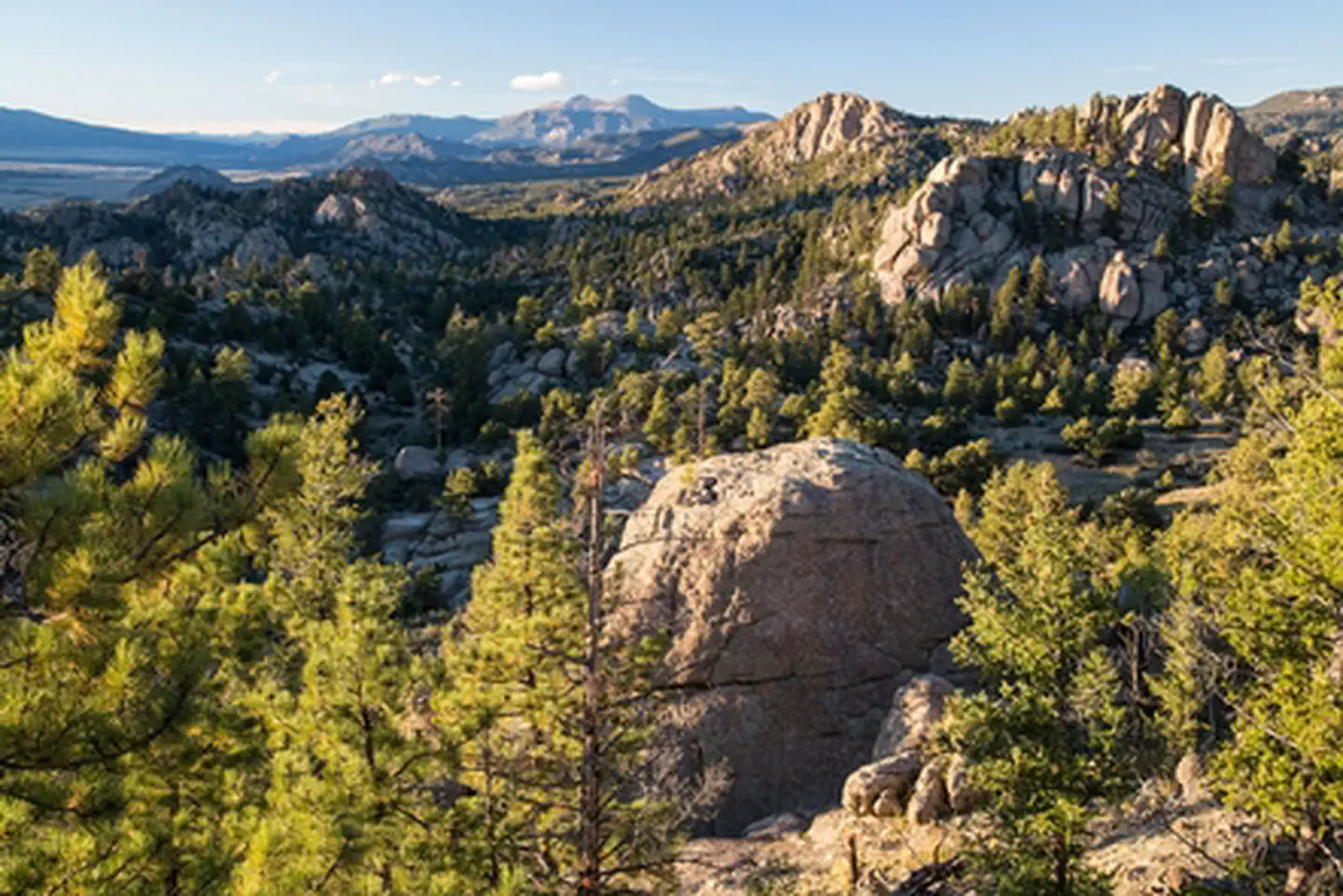

About Browns Canyon National Monument
Browns Canyon National Monument , a 21,586 acres (8,736 ha) national monument in Chaffee County, Colorado was designated as such by President Barack Obama under the Antiquities Act on February 19, 2015. For centuries, the granite cliffs, colorful rock outcroppings and stunning mountain vistas of Browns Canyon National Monument have attracted visitors from around the world. The areas unusual geology and roughly 3,000- foot range in elevation support a diversity of life and a wealth of geological, ecological, riparian, cultural and historic resources. The Arkansas River borders Browns Canyon NM and is one of the nation’s most popular whitewater rafting destinations. The Browns Canyon river segment provides a unique rafting experience allowing visitors to enjoy solitude while taking in the sc
Things to do
When to go
Low confidence for this location; local conditions may differ.
Weather data & source
Each figure averages the highlighted months. 2018–2023 averages, not a forecast. Wet days estimate days with at least 1 mm of rain or snow using a calibrated ERA5 threshold. Contains modified Copernicus Climate Change Service information. Weather data by Open-Meteo.com (AWS Open Data, CC BY 4.0). ERA5 via Open-Meteo AWS Open Data
Plan your visit
Browns Canyon National Monument is managed by Bureau of Land Management. Check current conditions, permits, and reservations before you go.
See it on Recreation.gov →