
About Burnt Creek Wilderness Study Area
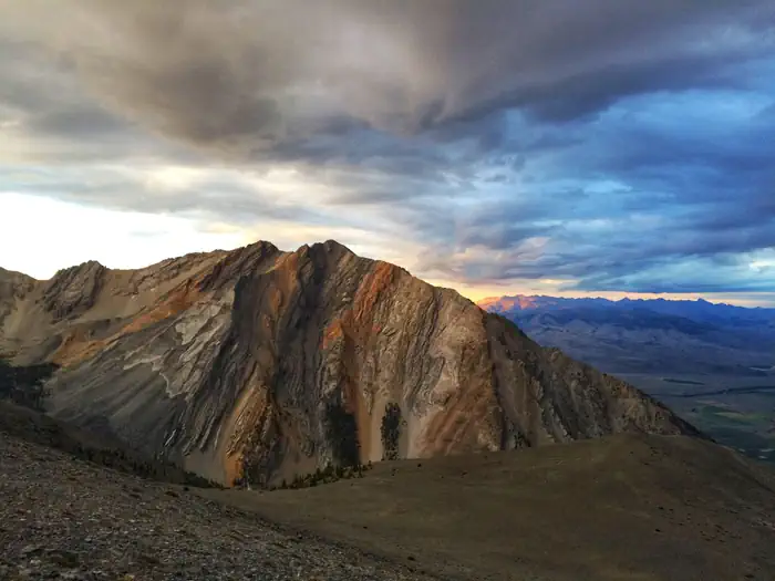
Burnt Creek Wilderness Study Area (WSA) is comprised of 24,980 acres designated as having wilderness characteristics. There are open sloping sagebrush and grass-covered hills in the north and east and steep terrain with scattered pockets of Douglas-fir and juniper in the south and west. Several large rock outcroppings dominate the center, and a small lake is nestled in the trees of the southwestern portion of the WSA. Motorized Use Restrictions All motorized and mechanized use is limited to designated boundary and cherry-stem routes only. The WSA is closed to all motorized use seasonally from October 1 st to December 31 st to provide a non-motorized hunting experience. 43 CFR 8340.5 defines an off-road vehicle as any motorized vehicle capable of, or designed for, travel on or immediately o
When to go
Weather data & source
Each figure averages the highlighted months. 2018–2023 averages, not a forecast. Wet days estimate days with at least 1 mm of rain or snow using a calibrated ERA5 threshold. Contains modified Copernicus Climate Change Service information. Weather data by Open-Meteo.com (AWS Open Data, CC BY 4.0). ERA5 via Open-Meteo AWS Open Data
Plan your visit
Burnt Creek Wilderness Study Area is managed by Bureau of Land Management. Check current conditions, permits, and reservations before you go.
See it on Recreation.gov →