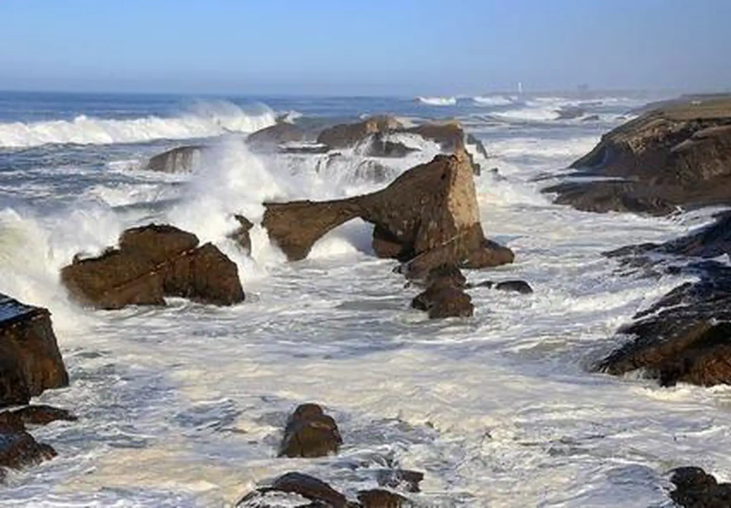

About California Coastal National Monument
Connecting the Pacific Ocean with the land, the California Coastal National Monument provides unique coastal habitat for marine-dependent wildlife and vegetation on 6 mainland units and more than 20,000 rocks, islands, exposed reefs, and pinnacles along the California coastline. The Monument includes public lands along the coast of California, and in the near shore waters of the Pacific Ocean. The off-shore rocks and islands are exposed above mean high tide, and within 12 nautical miles of the mainland along the 1,100 mile California coastline.While millions of people view the Monument from beaches, bluffs, and watercraft, a closer look reveals activity as it provides untrammeled nesting habitat for an estimated 200,000 breeding seabirds and thousands of loafing and breeding marine mammals
When to go
Weather data & source
Each figure averages the highlighted months. 2018–2023 averages, not a forecast. Wet days estimate days with at least 1 mm of rain or snow using a calibrated ERA5 threshold. Contains modified Copernicus Climate Change Service information. Weather data by Open-Meteo.com (AWS Open Data, CC BY 4.0). ERA5 via Open-Meteo AWS Open Data
Plan your visit
California Coastal National Monument is managed by Bureau of Land Management. Check current conditions, permits, and reservations before you go.
See it on Recreation.gov →