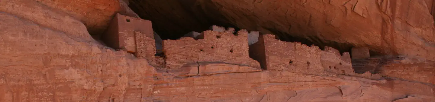

About Canyon de Chelly National Monument
This canyon is home to Dine' families who raise livestock, farm lands, and live here. People have lived in these canyons for nearly 5,000 years, which is longer than anyone has lived continuously on the Colorado Plateau. In this place called Tsegi, their homes and images tell us their stories. Today, the park and Navajo Nation work together to manage the rich cultural and natural resources.
Things to do
When to go
Weather data & source
Each figure averages the highlighted months. 2018–2023 averages, not a forecast. Wet days estimate days with at least 1 mm of rain or snow using a calibrated ERA5 threshold. Contains modified Copernicus Climate Change Service information. Weather data by Open-Meteo.com (AWS Open Data, CC BY 4.0). ERA5 via Open-Meteo AWS Open Data
Plan your visit
Canyon de Chelly National Monument is managed by National Park Service. Check current conditions, permits, and reservations before you go.
See it on Recreation.gov →