
About Cape Krusenstern National Monument
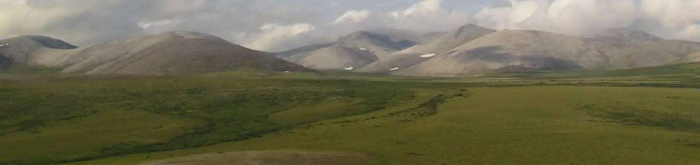
A bridge to the past and a land for the future, Cape Krusenstern National Monument protects approximately 560,000 acres of diverse Arctic coastal, and upland ecosystems. Inhabited by the Iñupiaq people since time-immemorial, over 5,000 years of sequential human use is documented in the 114 successive beach ridges. Rich connections to the land and waters are preserved through subsistence practices.
Things to do
When to go
Weather data & source
Each figure averages the highlighted months. 2018–2023 averages, not a forecast. Wet days estimate days with at least 1 mm of rain or snow using a calibrated ERA5 threshold. Contains modified Copernicus Climate Change Service information. Weather data by Open-Meteo.com (AWS Open Data, CC BY 4.0). ERA5 via Open-Meteo AWS Open Data
Plan your visit
Cape Krusenstern National Monument is managed by National Park Service. Check current conditions, permits, and reservations before you go.
See it on Recreation.gov →