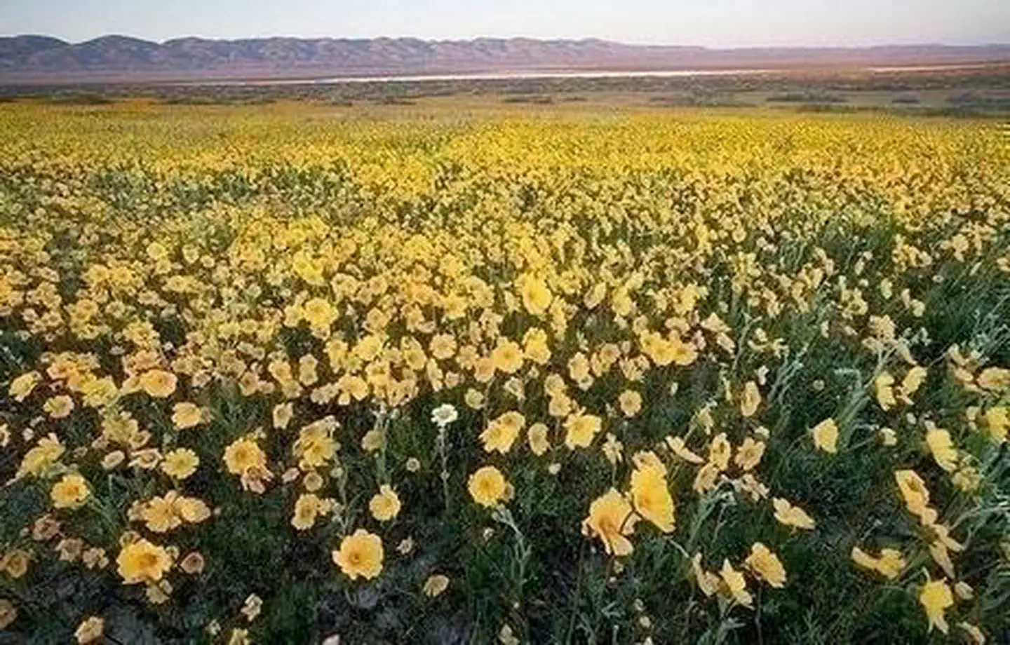

About Carrizo Plain National Monument
All vehicles including UTVs on the monument must be street-legal (DMV plated) and all vehicles must stay on roads. REMINDER: Please follow warning signs and respect private property when visiting your public lands. This is a remote area with limited towing services, no fuel, food or water nearby. ROADS: Rain showers continue, please be cautious on dirt roads! Don't drive into the flowers, park alongside the road (parallel) as not to obstruct other traffic and watch for pedestrians. Currently Simmler Road and Panorama Road are open. High clearance vehicles are recommended, especially in muddy areas. Soda Lake Road and Elkhorn Road are also open. Overview The Carrizo Plain National Monument, located 100 airline miles (160 km) from Los Angeles, is an area by-passed by time. Soda Lake, its cen
Things to do
When to go
Weather data & source
Each figure averages the highlighted months. 2018–2023 averages, not a forecast. Wet days estimate days with at least 1 mm of rain or snow using a calibrated ERA5 threshold. Contains modified Copernicus Climate Change Service information. Weather data by Open-Meteo.com (AWS Open Data, CC BY 4.0). ERA5 via Open-Meteo AWS Open Data
Plan your visit
Carrizo Plain National Monument is managed by Bureau of Land Management. Check current conditions, permits, and reservations before you go.
See it on Recreation.gov →