
About Cebolla Wilderness Area
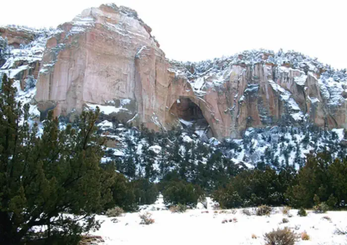
The 61,600-acre Cebolla Wilderness is made up of sandstone mesas, canyons, and grassy valleys. Juniper and piñon dominate, and ponderosa pine is found on north-facing slopes. Vertical escarpments provide excellent nesting habitat for golden eagles, prairie falcons, red-tail hawks, and great horned owls. The Cebolla Wilderness is rich in prehistoric archaeological sites, petroglyphs, and historic homesteads. One notable archaeological site is the Dittert Site. Sometime between A.D. 1000 and 1300, the Dittert Site was built and inhabited by the ancestors of modern Pueblo Indian people. The Cebolla Wilderness also contains La Ventana Natural Arch, a dramatic arch sculpted through wind and water erosion in the sandstone cliffs. The Wilderness is located within the El Malpais National Conservat
Things to do
When to go
Weather data & source
Each figure averages the highlighted months. 2018–2023 averages, not a forecast. Wet days estimate days with at least 1 mm of rain or snow using a calibrated ERA5 threshold. Contains modified Copernicus Climate Change Service information. Weather data by Open-Meteo.com (AWS Open Data, CC BY 4.0). ERA5 via Open-Meteo AWS Open Data
Plan your visit
Cebolla Wilderness Area is managed by Bureau of Land Management. Check current conditions, permits, and reservations before you go.
See it on Recreation.gov →