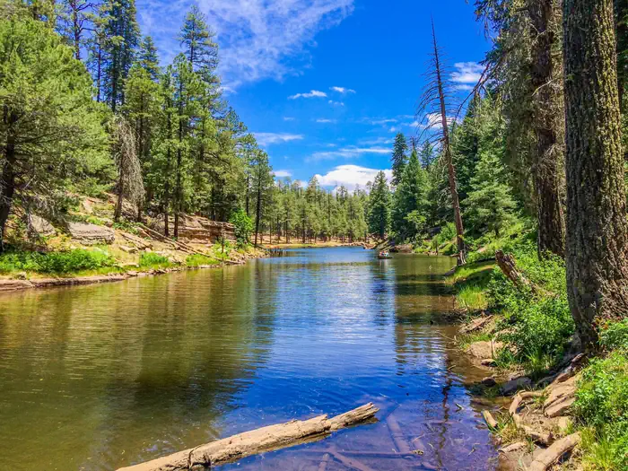

About Chain of Craters Wilderness Study Area
The Chain of Craters WSA is located in west-central New Mexico within the El Malpais National Conservation Area. This is a line of more than 25 cinder cones that was the result of magma finding a weak spot in the Earth's crust. The lower elevations are dominated by piсon and juniper woodland giving way to forests of ponderosa pine at higher elevations. The Continental Divide National Scenic Trail passes through this WSA.
Things to do
When to go
Weather data & source
Each figure averages the highlighted months. 2018–2023 averages, not a forecast. Wet days estimate days with at least 1 mm of rain or snow using a calibrated ERA5 threshold. Contains modified Copernicus Climate Change Service information. Weather data by Open-Meteo.com (AWS Open Data, CC BY 4.0). ERA5 via Open-Meteo AWS Open Data
Plan your visit
Chain of Craters Wilderness Study Area is managed by Bureau of Land Management. Check current conditions, permits, and reservations before you go.
See it on Recreation.gov →