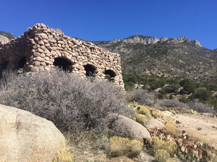

About Chamisa Wilderness Study Area
The northern portion of this WSA is arid, while the southern portion consists of a higher plateau dominated by piсon and ponderosa pines. The diversity of vegetation and landforms provide scenic appeal. Large numbers of elk use the area, as well as coyotes, mule deer, and Merriam's turkey.
Things to do
When to go
Weather data & source
Each figure averages the highlighted months. 2018–2023 averages, not a forecast. Wet days estimate days with at least 1 mm of rain or snow using a calibrated ERA5 threshold. Contains modified Copernicus Climate Change Service information. Weather data by Open-Meteo.com (AWS Open Data, CC BY 4.0). ERA5 via Open-Meteo AWS Open Data
Plan your visit
Chamisa Wilderness Study Area is managed by Bureau of Land Management. Check current conditions, permits, and reservations before you go.
See it on Recreation.gov →