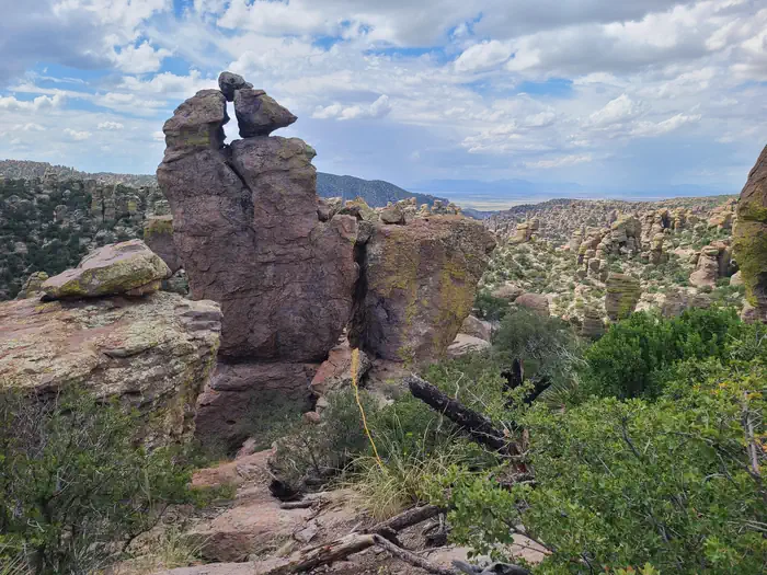

About Chiricahua National Monument
Chiricahua National Monument preserves towering rhyolite pinnacles, balanced rocks, and mountain landscapes shaped by volcanic forces in southeastern Arizona. Visitors explore scenic drives, hiking trails, and campgrounds beneath dark night skies. Rising between the Sonoran and Chihuahuan deserts, the monument supports diverse wildlife and protects a rich cultural history tied to Indigenous peoples, Apaches, Buffalo Soldiers, ranchers, and the Civilian Conservation Corps.
Things to do
When to go
Weather data & source
Each figure averages the highlighted months. 2018–2023 averages, not a forecast. Wet days estimate days with at least 1 mm of rain or snow using a calibrated ERA5 threshold. Contains modified Copernicus Climate Change Service information. Weather data by Open-Meteo.com (AWS Open Data, CC BY 4.0). ERA5 via Open-Meteo AWS Open Data
Plan your visit
Chiricahua National Monument is managed by National Park Service. Check current conditions, permits, and reservations before you go.
See it on Recreation.gov →