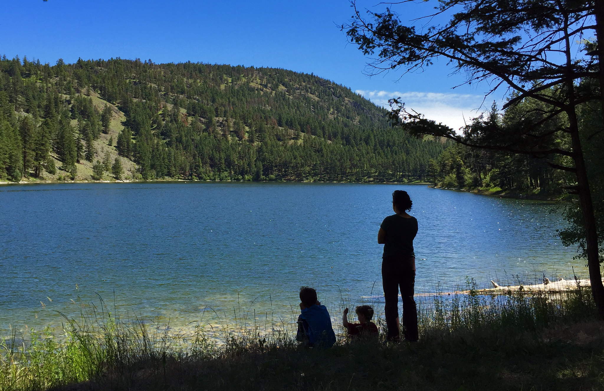

About Chopaka Lake and Chopaka Mountain Wilderness Study Area
Hidden deep within the highlands of northern Okanogan County, visitors will discover a jewel of a mountain lake. Aspen tree groves and sagebrush line the shores, providing a scenic backdrop to many lakeside activities. Mountain goats are often seen high on the surrounding mountain sides. Try your luck fly fishing for trout or take a peaceful hike in the 5,518-acre Chopaka Mountain Wilderness Study Area (WSA). The WSA is accessed by non-motorized trails through the Chopaka Lake campground. Know Before You Go Chopaka Lake is open YEAR ROUND, but due to snow conditions, road access is limited during the winter. Drive in access is available from approximately mid-April to mid-November. Motorized vehicles and mechanized transport (including bicycles) are not allowed in the WSA. Hike or boat-in
Things to do
When to go
Weather data & source
Each figure averages the highlighted months. 2018–2023 averages, not a forecast. Wet days estimate days with at least 1 mm of rain or snow using a calibrated ERA5 threshold. Contains modified Copernicus Climate Change Service information. Weather data by Open-Meteo.com (AWS Open Data, CC BY 4.0). ERA5 via Open-Meteo AWS Open Data
Plan your visit
Chopaka Lake and Chopaka Mountain Wilderness Study Area is managed by Bureau of Land Management. Check current conditions, permits, and reservations before you go.
See it on Recreation.gov →