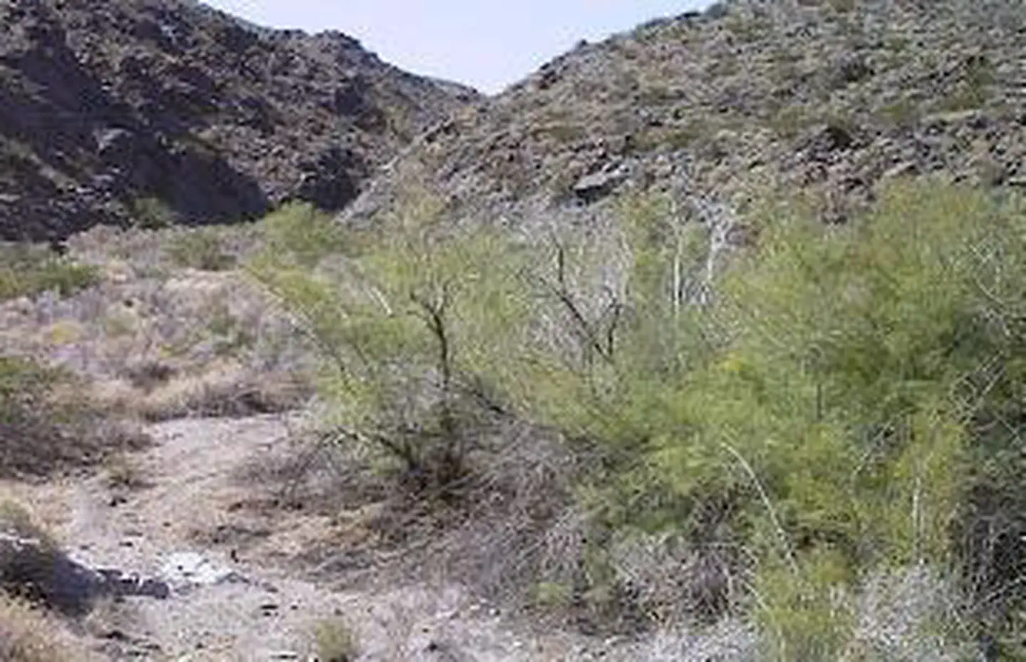

About Dead Mountains Wilderness
This area encompasses the jagged, steep, rust-colored Dead Mountains and the alluvial fans sweeping to the west towards Piute Valley and east towards the Colorado River. Centered in the northern half of the wilderness is its highest point, Mount Manchester at an elevation of 3,598 feet. Picture Canyon (a spring location and major wash) transects the wilderness in the north and the Piute Wash borders the wilderness on the west. Vegetation is predominantly creosote bush desert scrub and desert wash scrub. The northern most occurrence of smoketrees in the California Desert Conservation Area (CDCA) is found within the area's washes. Wildlife is typical for the Mojave Desert; including a small herd of bighorn sheep, coyote, black-tailed jackrabbits, ground squirrels, kangaroo rats, roadrunners,
Things to do
When to go
Weather data & source
Each figure averages the highlighted months. 2018–2023 averages, not a forecast. Wet days estimate days with at least 1 mm of rain or snow using a calibrated ERA5 threshold. Contains modified Copernicus Climate Change Service information. Weather data by Open-Meteo.com (AWS Open Data, CC BY 4.0). ERA5 via Open-Meteo AWS Open Data
Plan your visit
Dead Mountains Wilderness is managed by Bureau of Land Management. Check current conditions, permits, and reservations before you go.
See it on Recreation.gov →