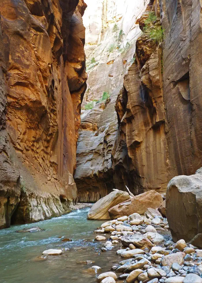

About Deep Creek Wilderness
Deep Creek Wilderness and Deep Creek North Wilderness These two contiguous units, containing approximately 7,500 acres of public land, are located near the northeast corner of Zion National Park. In fact, Deep Creek Wilderness shares its 3 mile southern border with the Park. The elevation ranges from a low of 6,000 feet in Deep Creek Wilderness to a high of 6,800 feet in Deep Creek North Wilderness, creating an environment for dense stands of trees and shrubs. The perennial stream of Deep Creek flows for approximately 4.8 miles through the Deep Creek Wilderness and was designated as a "wild" river segment for inclusion in the National Wild and Scenic River System through the Omnibus Public Land Management Act of 2009. Approximately 1.2 miles of two tributaries to the North Fork of the Virg
When to go
Weather data & source
Each figure averages the highlighted months. 2018–2023 averages, not a forecast. Wet days estimate days with at least 1 mm of rain or snow using a calibrated ERA5 threshold. Contains modified Copernicus Climate Change Service information. Weather data by Open-Meteo.com (AWS Open Data, CC BY 4.0). ERA5 via Open-Meteo AWS Open Data
Plan your visit
Deep Creek Wilderness is managed by Bureau of Land Management. Check current conditions, permits, and reservations before you go.
See it on Recreation.gov →