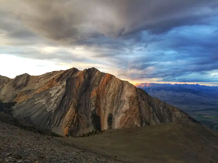

About Eighteen Mile Wilderness Study Area
In Idaho, BLM manages nearly 25,000 acres of public lands (with nearly 15,000 acres recommended for wilderness designation) in the Eighteenmile Wilderness Study Area (WSA) of north-central Idaho. The landscape is remote, rugged and mountainous - moving from foothills to grassy meadows to the steep cliffs along the Continental Divide. The vegetation here varies from sagebrush-grass communities at lower elevations to forests of Douglas fir and lodgepole pine at the higher elevations. While the WSA is closed to all motorized use, this is a popular area for non-motorized big game hunting in the fall. Visitors also enjoy excellent opportunities for solitude and for hiking, sight-seeing, backpacking, rockhounding and wildlife viewing. The area is generally not available December through May beca
Things to do
When to go
Weather data & source
Each figure averages the highlighted months. 2018–2023 averages, not a forecast. Wet days estimate days with at least 1 mm of rain or snow using a calibrated ERA5 threshold. Contains modified Copernicus Climate Change Service information. Weather data by Open-Meteo.com (AWS Open Data, CC BY 4.0). ERA5 via Open-Meteo AWS Open Data
Plan your visit
Eighteen Mile Wilderness Study Area is managed by Bureau of Land Management. Check current conditions, permits, and reservations before you go.
See it on Recreation.gov →