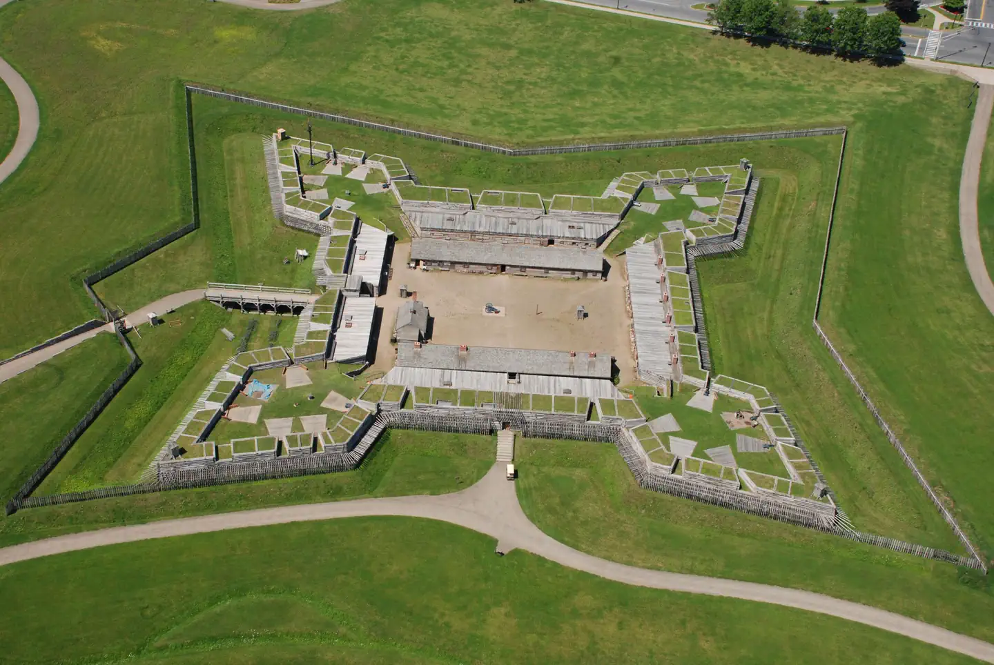

About Fort Stanwix National Monument
For centuries, the Oneida Carrying Place, a six-mile portage connecting the Mohawk River and Wood Creek, served as a vital link for those traveling by water from the ocean to the Great Lakes. When Europeans arrived, nations fought for control of the carry, the homelands of the Six Nations Confederacy, and the rich resources of North America. In this struggle, Fort Stanwix would play a vital role.
Things to do
When to go
Weather data & source
Each figure averages the highlighted months. 2018–2023 averages, not a forecast. Wet days estimate days with at least 1 mm of rain or snow using a calibrated ERA5 threshold. Contains modified Copernicus Climate Change Service information. Weather data by Open-Meteo.com (AWS Open Data, CC BY 4.0). ERA5 via Open-Meteo AWS Open Data
Plan your visit
Fort Stanwix National Monument is managed by National Park Service. Check current conditions, permits, and reservations before you go.
See it on Recreation.gov →