
About Glen Canyon National Recreation Area
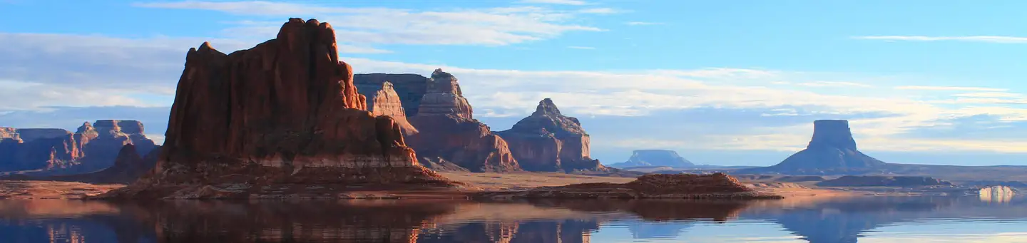
Encompassing over 1.25 million acres, Glen Canyon National Recreation Area offers unparalleled opportunities for water-based & backcountry recreation. The recreation area stretches for hundreds of miles from Lees Ferry in Arizona to the Orange Cliffs of southern Utah, encompassing scenic vistas, geologic wonders, and a vast panorama of human history.
Things to do
When to go
Weather data & source
Each figure averages the highlighted months. 2018–2023 averages, not a forecast. Wet days estimate days with at least 1 mm of rain or snow using a calibrated ERA5 threshold. Contains modified Copernicus Climate Change Service information. Weather data by Open-Meteo.com (AWS Open Data, CC BY 4.0). ERA5 via Open-Meteo AWS Open Data
Plan your visit
Glen Canyon National Recreation Area is managed by National Park Service. Check current conditions, permits, and reservations before you go.
See it on Recreation.gov →