
About Gold Butte National Monument
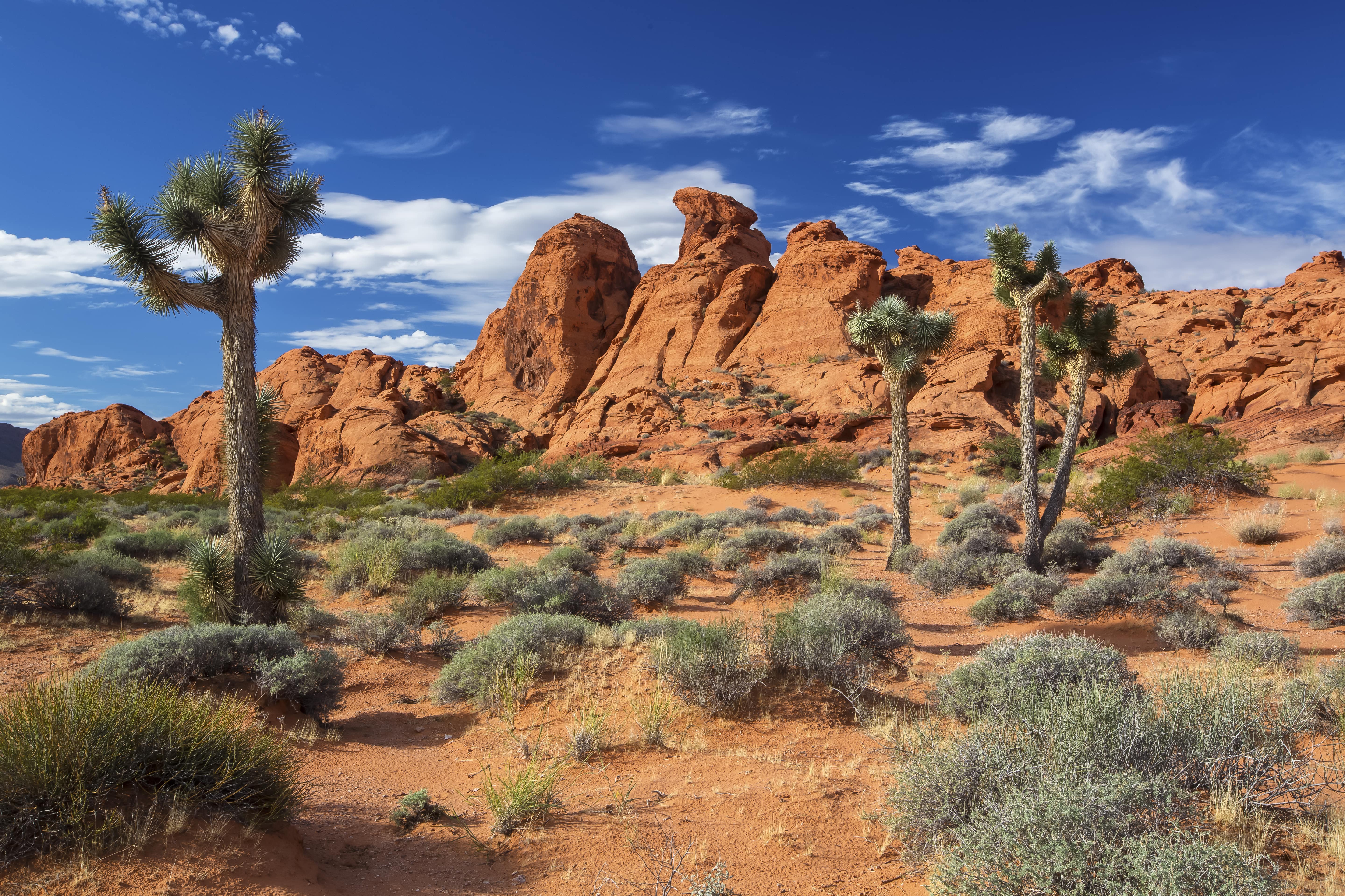
Inside the rugged 296,937-acre Gold Butte National Monument is an extraordinary variety of pre-historic, historic, geological, and biological treasures. The landscape reveals the story of human habitation over thousands of years, from the rock stories carved by ancient indigenous people to the remnants of Western mining and ranching heritage. Canyons and intricate rock formations sculpted through the millennia by wind and water offer a stunning backdrop and a photographer’s dream. Over 300 miles of primitive, designated routes provide the public access to a variety of these features. The Monument is remote and offers few amenities or services. Every year, visitors to Gold Butte National Monument enjoy many recreation activities, including hiking, backpacking, horse-back riding, and riding
Things to do
When to go
Weather data & source
Each figure averages the highlighted months. 2018–2023 averages, not a forecast. Wet days estimate days with at least 1 mm of rain or snow using a calibrated ERA5 threshold. Contains modified Copernicus Climate Change Service information. Weather data by Open-Meteo.com (AWS Open Data, CC BY 4.0). ERA5 via Open-Meteo AWS Open Data
Plan your visit
Gold Butte National Monument is managed by Bureau of Land Management. Check current conditions, permits, and reservations before you go.
See it on Recreation.gov →