
About Goose Creek Wilderness
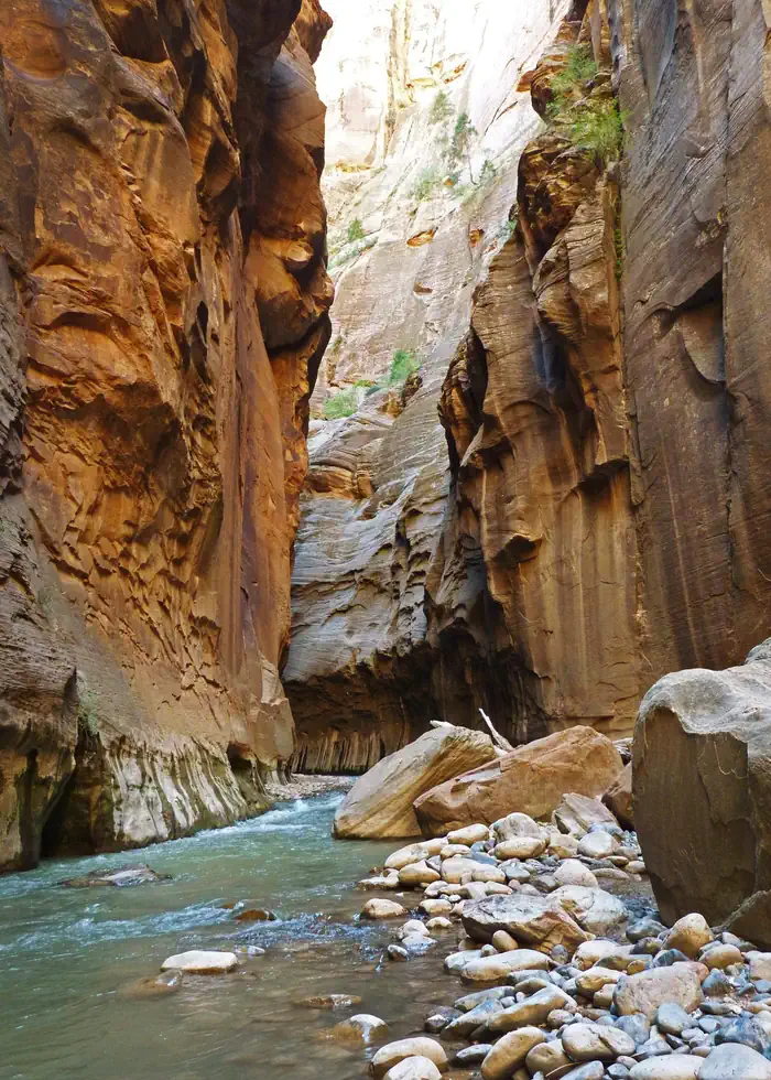
The 98 acres of Goose Creek are remote and rugged. Goose Creek itself, designated “wild,” flows through the Wilderness area at the start of the steep and deep Goose Creek Canyon. The elevation changes over 1,000 feet from the bottom of the canyon to top of the unit. Its southern border is contiguous with Zion National Park for half a mile. Sitting at about 7,000 feet, the landscape is typical of high elevation desert: dense tree stands on the slopes and thick riparian vegetation thriving in the canyon’s steep walled shade.
When to go
Weather data & source
Each figure averages the highlighted months. 2018–2023 averages, not a forecast. Wet days estimate days with at least 1 mm of rain or snow using a calibrated ERA5 threshold. Contains modified Copernicus Climate Change Service information. Weather data by Open-Meteo.com (AWS Open Data, CC BY 4.0). ERA5 via Open-Meteo AWS Open Data
Plan your visit
Goose Creek Wilderness is managed by Bureau of Land Management. Check current conditions, permits, and reservations before you go.
See it on Recreation.gov →