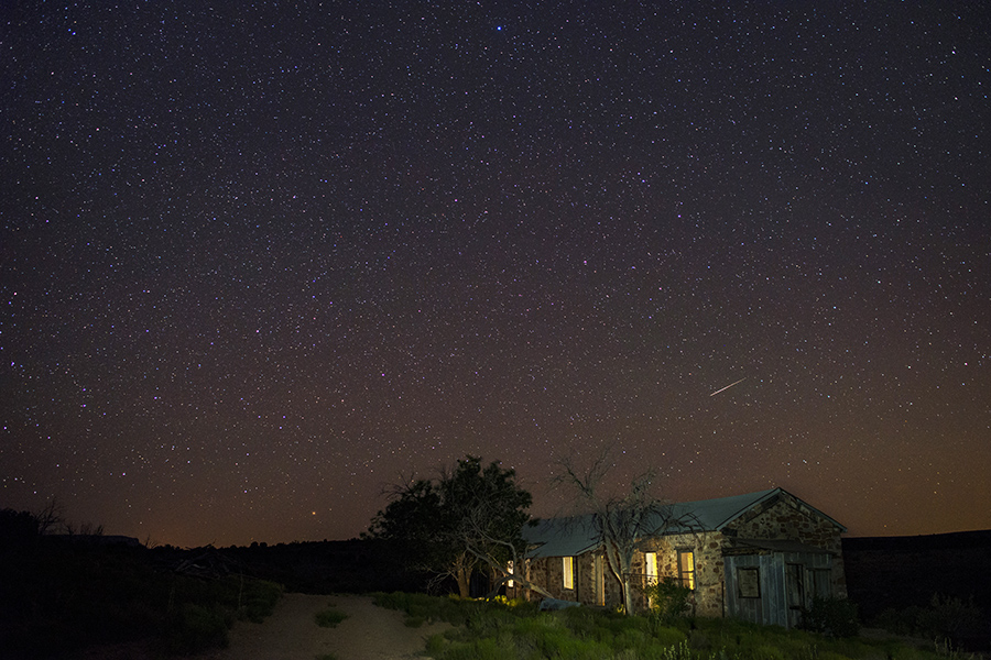

About Grand Canyon - Parashant National Monument
Countless biological, historical and archeological treasures await you in the Grand Canyon-Parashant National Monument. Deep canyons, mountains and lonely buttes testify to the power of geological forces and provide colorful vistas. The monument encompasses the lower portion of the Shivwits Plateau, an important watershed for the Colorado River and the Grand Canyon. Vegetation in the monument ranges from Mojave Desert flora to ponderosa pine forest. Mule deer, bighorn sheep, wild turkey, and four species of rattlesnakes are among the monument’s wildlife. Grand Canyon-Parashant National Monument is jointly managed by the Bureau of Land Management (BLM) and the National Park Service (NPS). Covering more than one million acres, Grand Canyon-Parashant National Monument is a scientific treasure
Things to do
When to go
Weather data & source
Each figure averages the highlighted months. 2018–2023 averages, not a forecast. Wet days estimate days with at least 1 mm of rain or snow using a calibrated ERA5 threshold. Contains modified Copernicus Climate Change Service information. Weather data by Open-Meteo.com (AWS Open Data, CC BY 4.0). ERA5 via Open-Meteo AWS Open Data
Plan your visit
Grand Canyon - Parashant National Monument is managed by Bureau of Land Management. Check current conditions, permits, and reservations before you go.
See it on Recreation.gov →