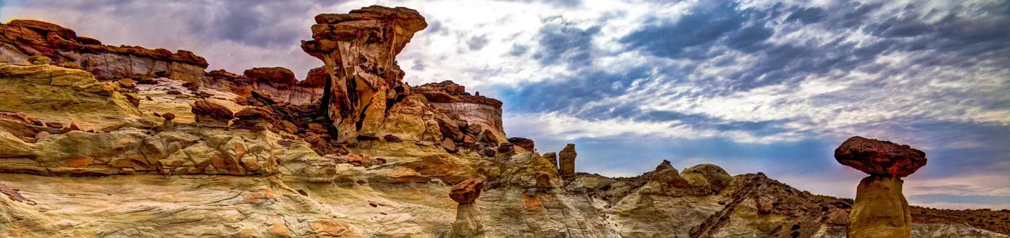

About Grand Staircase-Escalante National Monument
About The Monument The Monument is also an outstanding biological resource, spanning five life-zones - from low-lying desert to coniferous forest. Deep within this vast and austere landscape, the Anasazi and Fremont cultures made contact in the period AD 950-1100, leaving behind rock art panels, occupation sites, campsites and granaries. Stepping further back in time, fossil excavations have yielded more information about ecosystem change at the end of the dinosaur era than any other place in the world. The Monument’s size, resources, and remote character provide extraordinary opportunities for geologists, paleontologists, archeologists, historians, and biologists in scientific research, education, and exploration. This unspoiled natural area remains a frontier with countless opportunities
When to go
Weather data & source
Each figure averages the highlighted months. 2018–2023 averages, not a forecast. Wet days estimate days with at least 1 mm of rain or snow using a calibrated ERA5 threshold. Contains modified Copernicus Climate Change Service information. Weather data by Open-Meteo.com (AWS Open Data, CC BY 4.0). ERA5 via Open-Meteo AWS Open Data
Plan your visit
Grand Staircase-Escalante National Monument is managed by Bureau of Land Management. Check current conditions, permits, and reservations before you go.
See it on Recreation.gov →