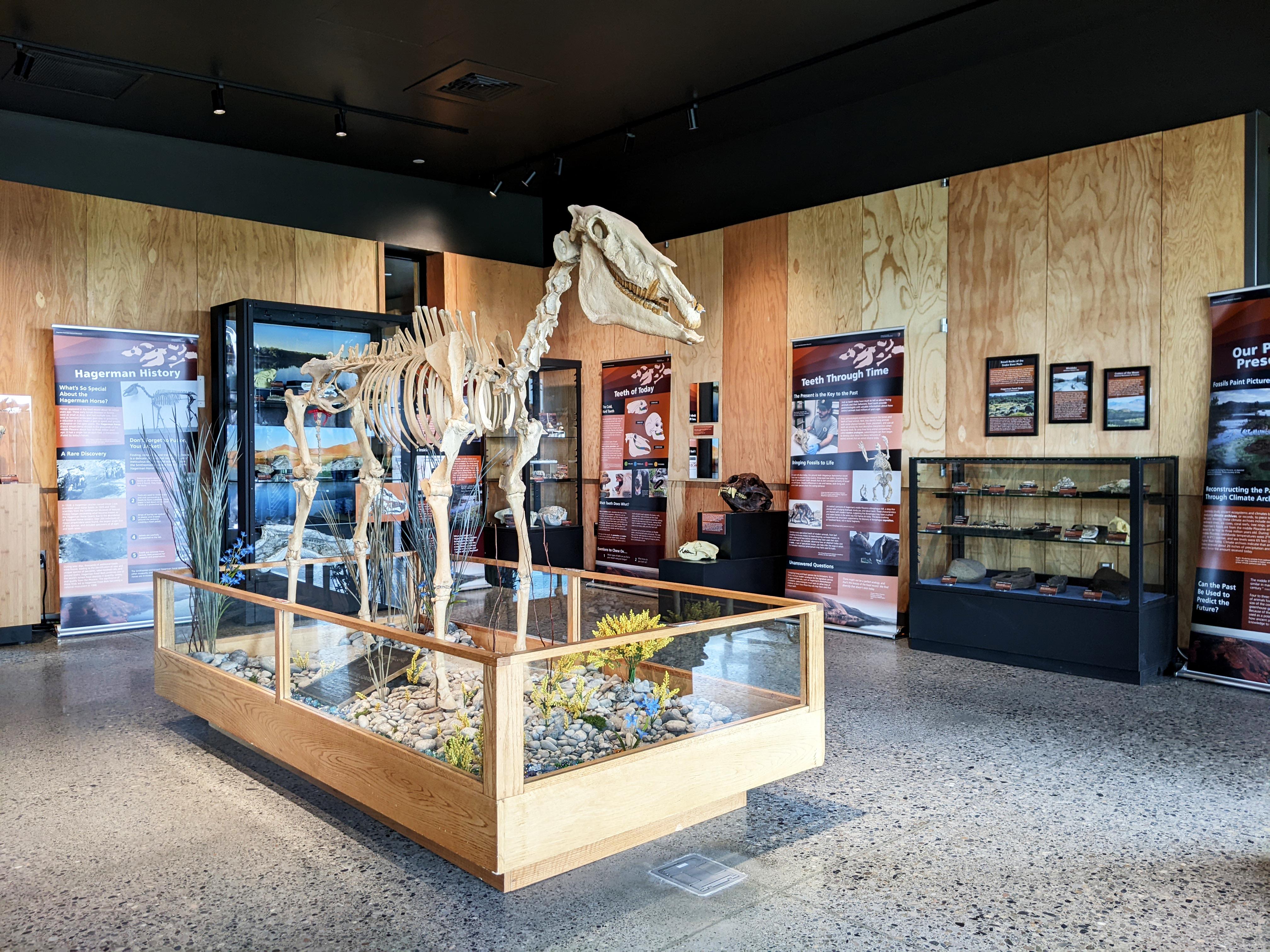

About Hagerman Fossil Beds National Monument
During the Pliocene, this place looked quite different. Lush wetlands, forests, and grasslands provided excellent habitat for a variety of animals. From fascinating, now-extinct creatures like the saber-toothed cat, mastodon, and ground sloth, to more familiar animals like horses, beavers, and birds, the scientific study of Pliocene fossils is the key to Hagerman.
Things to do
When to go
Weather data & source
Each figure averages the highlighted months. 2018–2023 averages, not a forecast. Wet days estimate days with at least 1 mm of rain or snow using a calibrated ERA5 threshold. Contains modified Copernicus Climate Change Service information. Weather data by Open-Meteo.com (AWS Open Data, CC BY 4.0). ERA5 via Open-Meteo AWS Open Data
Plan your visit
Hagerman Fossil Beds National Monument is managed by National Park Service. Check current conditions, permits, and reservations before you go.
See it on Recreation.gov →