
About Hoosier National Forest
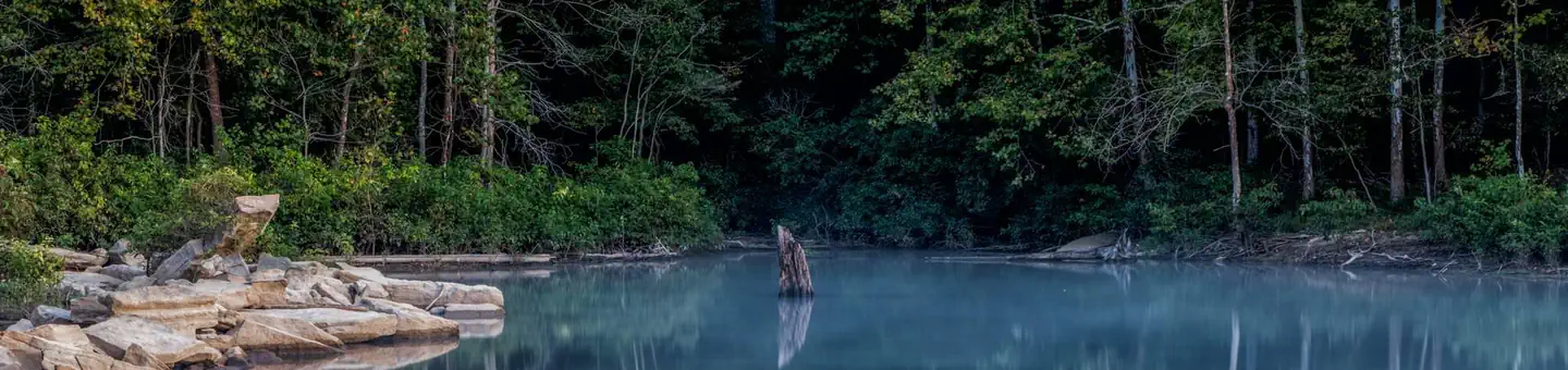
Hoosier National Forest, in the hills of south central Indiana, provides a wide mix of opportunities and resources for people to enjoy. Rolling hills, back-country trails, and rural crossroad communities make this small but beautiful 204,000 acre Forest a local treasure. Forest managers work with the public to develop a shared vision of stewardship focused on restoring, maintaining, and interpreting the cultural and natural resources of our public lands.
Things to do
When to go
Weather data & source
Each figure averages the highlighted months. 2018–2023 averages, not a forecast. Wet days estimate days with at least 1 mm of rain or snow using a calibrated ERA5 threshold. Contains modified Copernicus Climate Change Service information. Weather data by Open-Meteo.com (AWS Open Data, CC BY 4.0). ERA5 via Open-Meteo AWS Open Data
Plan your visit
Hoosier National Forest is managed by USDA Forest Service. Check current conditions, permits, and reservations before you go.
See it on Recreation.gov →