
About Ironwood Forest National Monument
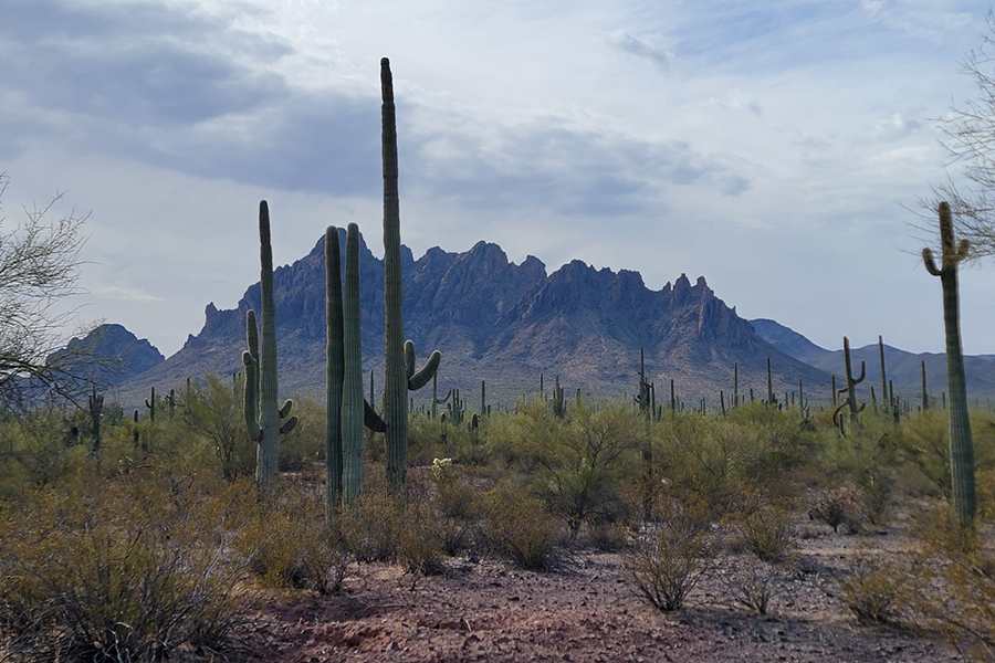
The Ironwood Forest National Monument, which takes its name from one of the longest living trees in the Arizona desert, is 189,600 acres, of which 128,400 acres are administered by the Bureau of Land Management (BLM) with the balance of land privately owned or State Trust land. Keeping company with the ironwood trees are mesquite, palo verde, creosote, and saguaro, blanketing the monument floor beneath rugged mountain ranges named Silver Bell, Waterman and Sawtooth. In between, desert valleys lay quietly to complete the setting. Elevations here range from 1,800 to more than 4,200 feet. Ragged Top Mountain is the biological and geological crown jewel of the monument. Several endangered and threatened species live here, including the Nichols turk’s head cactus and the lesser long-nosed bat.
Things to do
When to go
Weather data & source
Each figure averages the highlighted months. 2018–2023 averages, not a forecast. Wet days estimate days with at least 1 mm of rain or snow using a calibrated ERA5 threshold. Contains modified Copernicus Climate Change Service information. Weather data by Open-Meteo.com (AWS Open Data, CC BY 4.0). ERA5 via Open-Meteo AWS Open Data
Plan your visit
Ironwood Forest National Monument is managed by Bureau of Land Management. Check current conditions, permits, and reservations before you go.
See it on Recreation.gov →