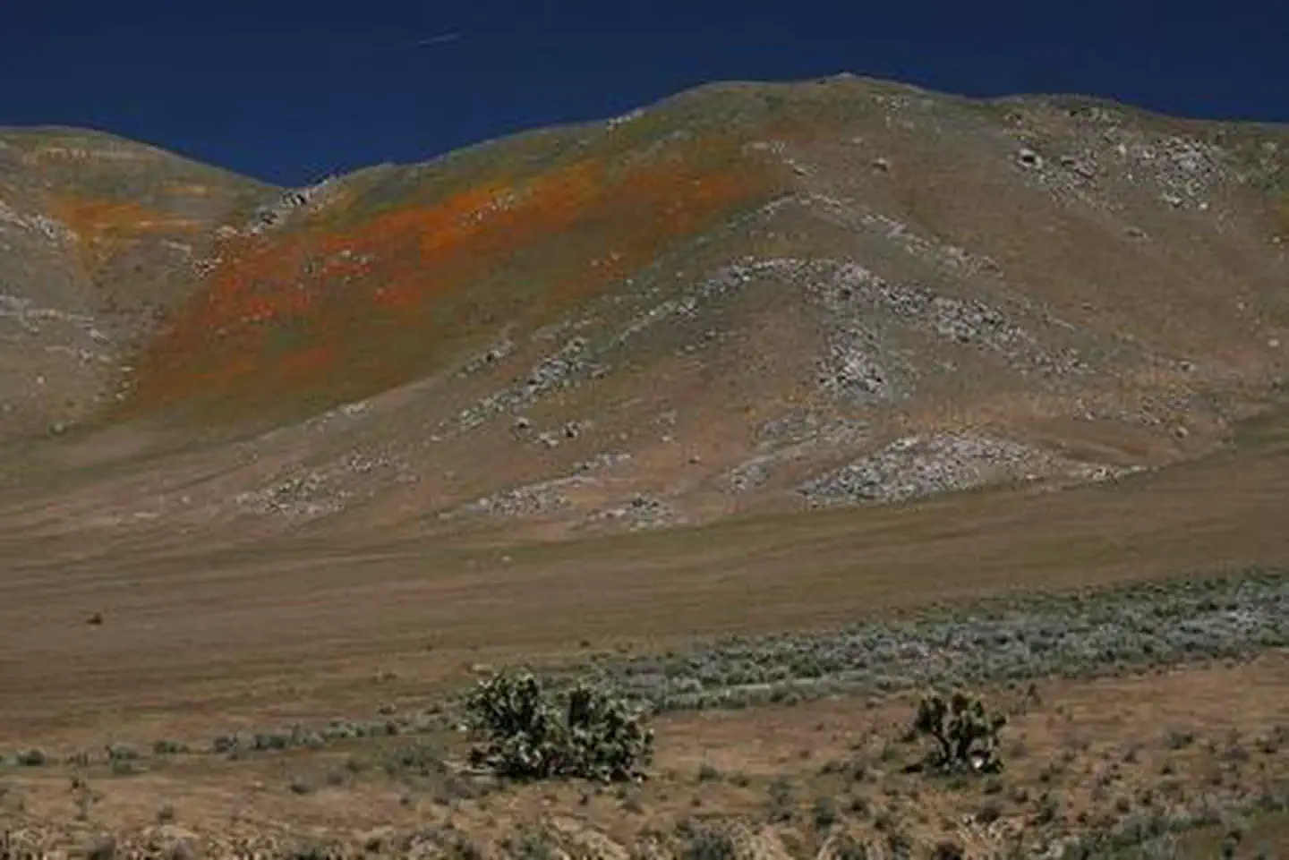

About Kiavah Wilderness
Kiavah Wilderness encompasses the eroded hills, canyons, and bajadas (lower slopes) of the Scodie Mountains and parts of the Sequoia National Forest. A unique mix of plant and animal species occurs within this transition zone between the Mojave Desert and Sierra Nevada. Desert plants such as creosote bush, Joshua tree, burrobush, and shadscale may be found in close association with pinyon pine, juniper, canyon oak, and digger/grey pine. The vegetation mosaic over a small geographic area provides habitat for a great diversity of wildlife, including raptors, the yellow-eared pocket mouse, a variety of lizards, and a number of migrant and resident bird species. This scenic wilderness is a favorite destination for hikers and equestrians.
Things to do
When to go
Weather data & source
Each figure averages the highlighted months. 2018–2023 averages, not a forecast. Wet days estimate days with at least 1 mm of rain or snow using a calibrated ERA5 threshold. Contains modified Copernicus Climate Change Service information. Weather data by Open-Meteo.com (AWS Open Data, CC BY 4.0). ERA5 via Open-Meteo AWS Open Data
Plan your visit
Kiavah Wilderness is managed by Bureau of Land Management. Check current conditions, permits, and reservations before you go.
See it on Recreation.gov →