
About Lake Roosevelt National Recreation Area
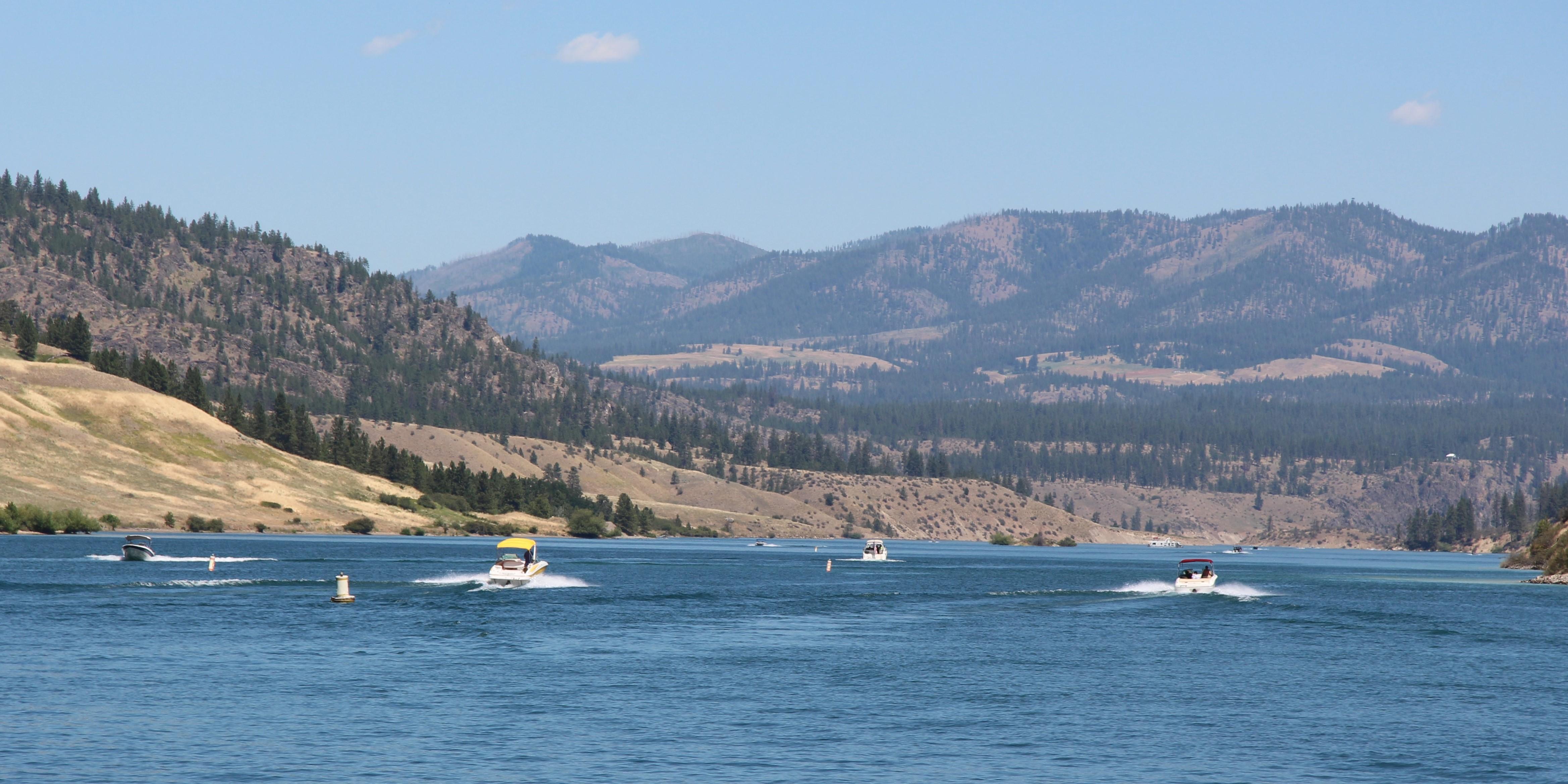
The ancient geologic landscape of the upper Columbia River cradles Lake Roosevelt in walls of stone carved by massive ice age floods. Come explore the shorelines and learn the stories of American Indians, traders and trappers, settlers and dam builders who called this place home. Swim, boat, hike, camp, and fish at this hidden gem in Northeast Washington, created by the Grand Coulee Dam.
Things to do
When to go
Weather data & source
Each figure averages the highlighted months. 2018–2023 averages, not a forecast. Wet days estimate days with at least 1 mm of rain or snow using a calibrated ERA5 threshold. Contains modified Copernicus Climate Change Service information. Weather data by Open-Meteo.com (AWS Open Data, CC BY 4.0). ERA5 via Open-Meteo AWS Open Data
Plan your visit
Lake Roosevelt National Recreation Area is managed by National Park Service. Check current conditions, permits, and reservations before you go.
See it on Recreation.gov →