
About Lower White River Wilderness
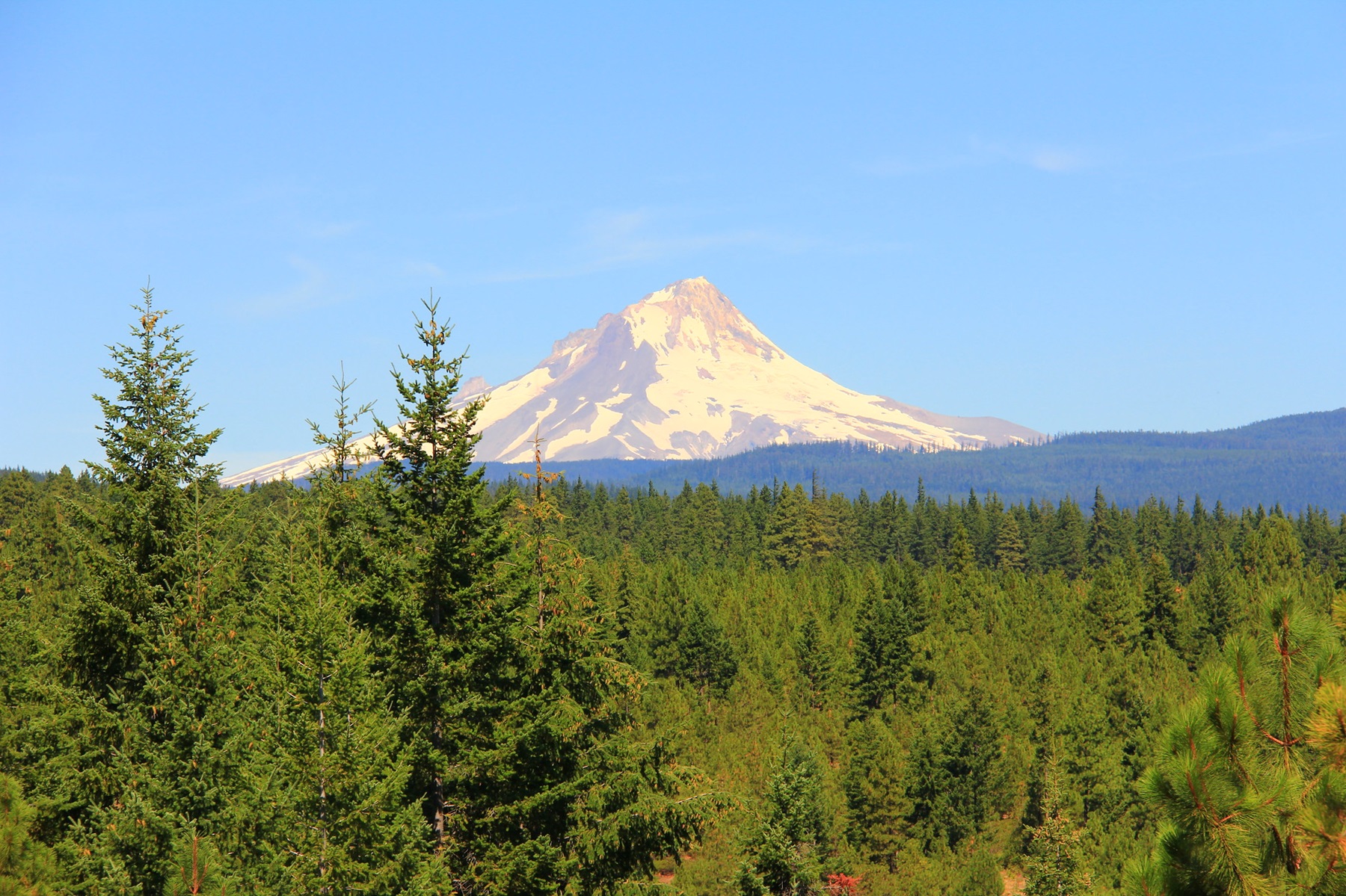
The White River rises in the high Cascades in western Wasco County, in the Mount Hood National Forest on the southeast flank of Mount Hood. The headwaters are just below White River Glacier in White River Canyon. Additions to the Mount Hood Wilderness protect upper portions of the river, while the Lower White River Wilderness, southeast of the majestic Mount Hood Wilderness and east of Highway 26, protect a segment of lower White River stretch. Mount Hood Wilderness protects upper portions of the river, while the 2,809-acre Lower White River Wilderness, southeast of the Mount Hood Wilderness and east of highway 26, provides a buffer for a lower segment of the river. There are no maintained trails within Lower White River Wilderness but the Keeps Mill Campground is located just west of the
Things to do
When to go
Weather data & source
Each figure averages the highlighted months. 2018–2023 averages, not a forecast. Wet days estimate days with at least 1 mm of rain or snow using a calibrated ERA5 threshold. Contains modified Copernicus Climate Change Service information. Weather data by Open-Meteo.com (AWS Open Data, CC BY 4.0). ERA5 via Open-Meteo AWS Open Data
Plan your visit
Lower White River Wilderness is managed by Bureau of Land Management. Check current conditions, permits, and reservations before you go.
See it on Recreation.gov →