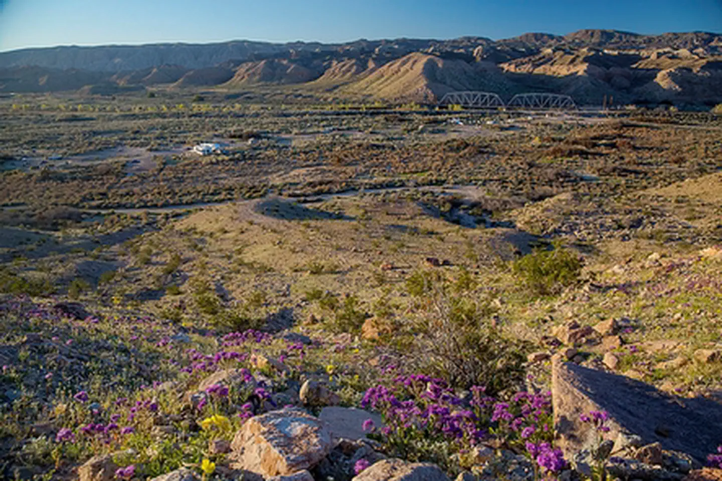

About Mojave Trails National Monument
The Mojave Trails National Monument spans 1.6 million acres of federal lands, including more than 350,000 acres of already Congressionally-designated wilderness, managed by the Bureau of Land Management between Barstow and Needles, California. It is a stunning mosaic of rugged mountain ranges, ancient lava flows, and spectacular sand dunes. The monument contains the longest remaining undeveloped stretch of Route 66 and some of the best preserved sites from the World War II-era Desert Training Center. Connecting the Mojave National Preserve with Joshua Tree National Park, the Mojave Trails National Monument ensures the biological connectivity of this landscape while preserving traditional uses such hunting and off-highway vehicle recreation.
Things to do
When to go
Weather data & source
Each figure averages the highlighted months. 2018–2023 averages, not a forecast. Wet days estimate days with at least 1 mm of rain or snow using a calibrated ERA5 threshold. Contains modified Copernicus Climate Change Service information. Weather data by Open-Meteo.com (AWS Open Data, CC BY 4.0). ERA5 via Open-Meteo AWS Open Data
Plan your visit
Mojave Trails National Monument is managed by Bureau of Land Management. Check current conditions, permits, and reservations before you go.
See it on Recreation.gov →