
About Mount Tipton Wilderness
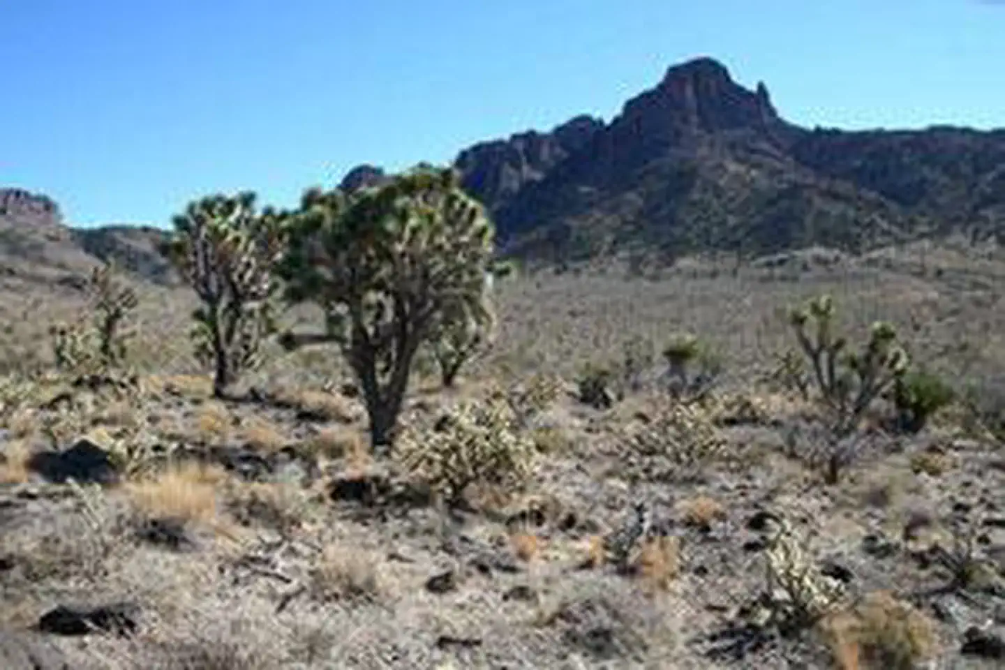
The 30,760-acre Mount Tipton Wilderness is located in Mohave County, 25 miles north of Kingman, Arizona. This wilderness includes the entire northern half of the imposing Cerbat Mountains. Although Mount Tipton Peak, at 7,148 feet, dominates the wilderness, the true centerpiece and main scenic attraction here is the Cerbat Pinnacles. Located north of and below Mount Tipton, the Pinnacles, immense tusk-like rows of maroon-colored spires, stand majestically above open, tawny-colored valleys. Large and topographically complex, the Mount Tipton Wilderness provides a wide range of hiking, backpacking, photography, and horseback riding opportunities. Visitors capable of making the climb to the top of Mount Tipton can examine a remnant stand of large ponderosa pine located below the peak to the n
Things to do
When to go
Low confidence for this location; local conditions may differ.
Weather data & source
Each figure averages the highlighted months. 2018–2023 averages, not a forecast. Wet days estimate days with at least 1 mm of rain or snow using a calibrated ERA5 threshold. Contains modified Copernicus Climate Change Service information. Weather data by Open-Meteo.com (AWS Open Data, CC BY 4.0). ERA5 via Open-Meteo AWS Open Data
Plan your visit
Mount Tipton Wilderness is managed by Bureau of Land Management. Check current conditions, permits, and reservations before you go.
See it on Recreation.gov →