
About Mount Wilson Wilderness
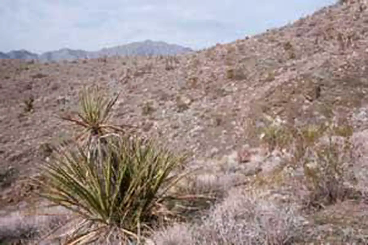
The 23,900-acre Mount Wilson Wilderness Area is located in Mohave County, Arizona, approximately 30 miles southeast of Las Vegas, Nevada, and 60 miles northwest of Kingman, Arizona. The wilderness encompasses eight miles of Wilson Ridge and its summit, the 5,445-foot-high Mount Wilson. This mountain range, largely contained within the wilderness, is the most prominent range in the Hoover Dam area. The area's forbidding and stark landscape contains several dependable springs which sustain a surprisingly wide variety of wildlife, most notably a population of desert bighorn sheep. With a vertical relief of over 3,000 feet, visitors hiking along Wilson Ridge can enjoy a breathtaking view of Lake Mead and the colorful cliffs, badlands, and mountains extending to the farthest horizon. When explo
Things to do
When to go
Weather data & source
Each figure averages the highlighted months. 2018–2023 averages, not a forecast. Wet days estimate days with at least 1 mm of rain or snow using a calibrated ERA5 threshold. Contains modified Copernicus Climate Change Service information. Weather data by Open-Meteo.com (AWS Open Data, CC BY 4.0). ERA5 via Open-Meteo AWS Open Data
Plan your visit
Mount Wilson Wilderness is managed by Bureau of Land Management. Check current conditions, permits, and reservations before you go.
See it on Recreation.gov →