
About Mudgetts Wilderness Study Area
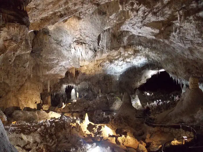
The Mudgetts WSA is located in southern New Mexico about 30 miles southwest of the city of Carlsbad. The WSA is contiguous with Carlsbad Wilderness (managed by the National Park Service). The area is characterized by steeply rolling limestone hills and canyons covered in desert shrubs and cactus with scattered sotol, agave, and juniper. The region is known for its diverse vegetation, scenic vistas and caves.
Things to do
When to go
Weather data & source
Each figure averages the highlighted months. 2018–2023 averages, not a forecast. Wet days estimate days with at least 1 mm of rain or snow using a calibrated ERA5 threshold. Contains modified Copernicus Climate Change Service information. Weather data by Open-Meteo.com (AWS Open Data, CC BY 4.0). ERA5 via Open-Meteo AWS Open Data
Plan your visit
Mudgetts Wilderness Study Area is managed by Bureau of Land Management. Check current conditions, permits, and reservations before you go.
See it on Recreation.gov →