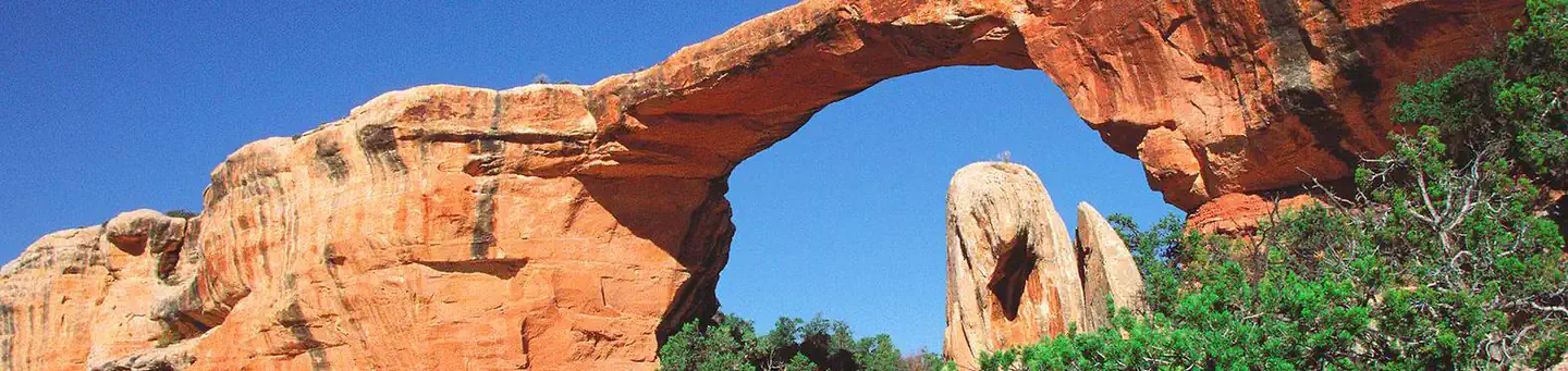

About Natural Bridges National Monument
Three majestic natural bridges invite you to ponder the power of water in a landscape usually defined by its absence. View them from an overlook, or hit the trails and experience their grandeur from below. Declared a National Monument in 1908, the bridges are named "Kachina," "Owachomo" and "Sipapu" in honor of the Ancestral Puebloans who once made this place their home.
Things to do
When to go
Weather data & source
Each figure averages the highlighted months. 2018–2023 averages, not a forecast. Wet days estimate days with at least 1 mm of rain or snow using a calibrated ERA5 threshold. Contains modified Copernicus Climate Change Service information. Weather data by Open-Meteo.com (AWS Open Data, CC BY 4.0). ERA5 via Open-Meteo AWS Open Data
Plan your visit
Natural Bridges National Monument is managed by National Park Service. Check current conditions, permits, and reservations before you go.
See it on Recreation.gov →