
About Navajo National Monument
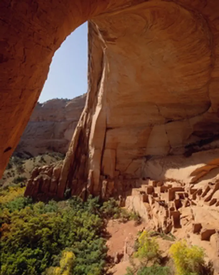
For centuries, the Hopi, San Juan Southern Paiute, Zuni, and Navajo people have lived in the canyons. Springs fed farmlands on the canyon floor and homes were built in the natural sandstone alcoves. The cliff dwellings of Betatakin, Keet Seel, and Inscription House were last physically occupied around 1300 AD but the villages have a spiritual presence that can still be felt today.
Things to do
When to go
Weather data & source
Each figure averages the highlighted months. 2018–2023 averages, not a forecast. Wet days estimate days with at least 1 mm of rain or snow using a calibrated ERA5 threshold. Contains modified Copernicus Climate Change Service information. Weather data by Open-Meteo.com (AWS Open Data, CC BY 4.0). ERA5 via Open-Meteo AWS Open Data
Plan your visit
Navajo National Monument is managed by National Park Service. Check current conditions, permits, and reservations before you go.
See it on Recreation.gov →