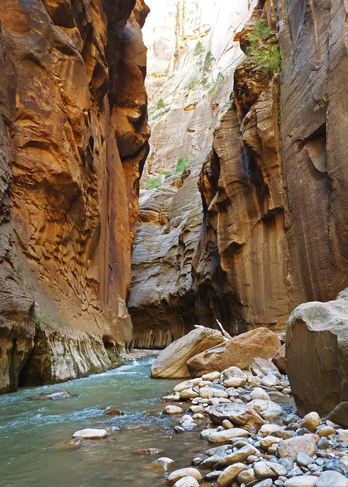

About North Fork Virgin River Wilderness Study Area
Hikers entering the internationally renowned Virgin River Narrows hiking trail in Zion must first traverse this WSA, with scenery very similar to what they will encounter upon reaching the Park portion of the hiking route. The bald eagle and peregrine falcon visit this WSA. There are 12 additional animal species and 4 plant species that are considered to be sensitive that occur or may occur in the WSA. Elk, mule deer, and Cougar also use the WSA.
When to go
Weather data & source
Each figure averages the highlighted months. 2018–2023 averages, not a forecast. Wet days estimate days with at least 1 mm of rain or snow using a calibrated ERA5 threshold. Contains modified Copernicus Climate Change Service information. Weather data by Open-Meteo.com (AWS Open Data, CC BY 4.0). ERA5 via Open-Meteo AWS Open Data
Plan your visit
North Fork Virgin River Wilderness Study Area is managed by Bureau of Land Management. Check current conditions, permits, and reservations before you go.
See it on Recreation.gov →