
About North Mesquite Mountains Wilderness
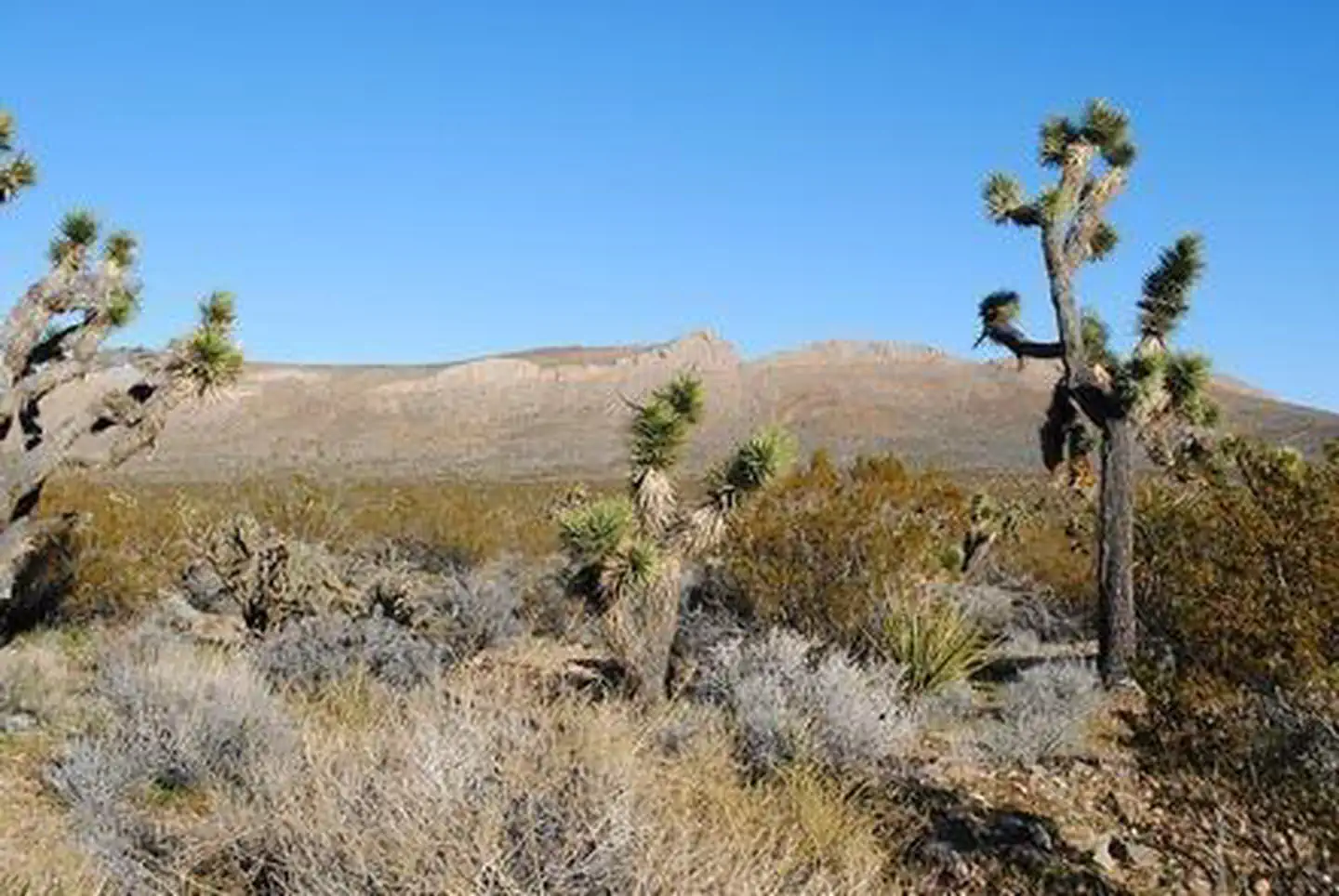
The North Mesquite Mountains Wilderness consists of the broad western end of Sandy Valley and the northern portion of Mesquite Mountains. Rolling brown foothills, a few steeper mountains, and medium sized buttes comprise the reddish-brown geologic features in the wilderness. Dominant vegetation includes creosote brush scrub, blackbush, Joshua tree woodland, yucca, cacti, and some grasses. Wildlife is also typical for the Mojave Desert. Due to the lack of naturalwaters, bighorn sheep do not inhabit the area on a permanent basis but do transverse the area. The southern tip of the wilderness provides critical habitat for the desert tortoise. The wilderness is located in the northeastern portion of the sector and consists of 28,955 acres.
Things to do
When to go
Weather data & source
Each figure averages the highlighted months. 2018–2023 averages, not a forecast. Wet days estimate days with at least 1 mm of rain or snow using a calibrated ERA5 threshold. Contains modified Copernicus Climate Change Service information. Weather data by Open-Meteo.com (AWS Open Data, CC BY 4.0). ERA5 via Open-Meteo AWS Open Data
Plan your visit
North Mesquite Mountains Wilderness is managed by Bureau of Land Management. Check current conditions, permits, and reservations before you go.
See it on Recreation.gov →