
About Orocopia Mountains Wilderness
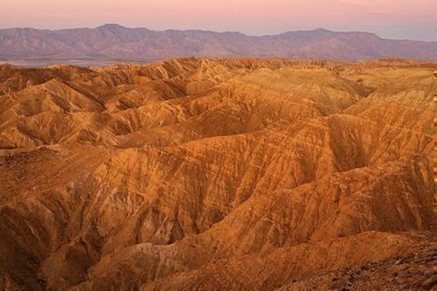
The western boundary of the Orocopia Mountains Wilderness is contiguous with the Mecca Hills Wilderness with the exception of the Meccacopia Jeep Trail, which bisects the two wilderness areas. The forces of nature have produced a striking landscape here where open valleys, ridges and highly colorful and dramatically eroded canyons are the result of the region's proximity to the San Andreas fault system. Deep canyons and washes cut across the entire area, exposing walls of color shaded from bright red to black. Bighorn sheep, burro deer, desert tortoise and many small upland game species live among the mountains. The spiny-leaved Orocopia sage, Alverson's foxtail cactus, Orcutt's woody aster and the Mecca aster grow unexpectedly in washes, on stony slopes and in gypsum soils. Orocopia Mount
Things to do
When to go
Weather data & source
Each figure averages the highlighted months. 2018–2023 averages, not a forecast. Wet days estimate days with at least 1 mm of rain or snow using a calibrated ERA5 threshold. Contains modified Copernicus Climate Change Service information. Weather data by Open-Meteo.com (AWS Open Data, CC BY 4.0). ERA5 via Open-Meteo AWS Open Data
Plan your visit
Orocopia Mountains Wilderness is managed by Bureau of Land Management. Check current conditions, permits, and reservations before you go.
See it on Recreation.gov →