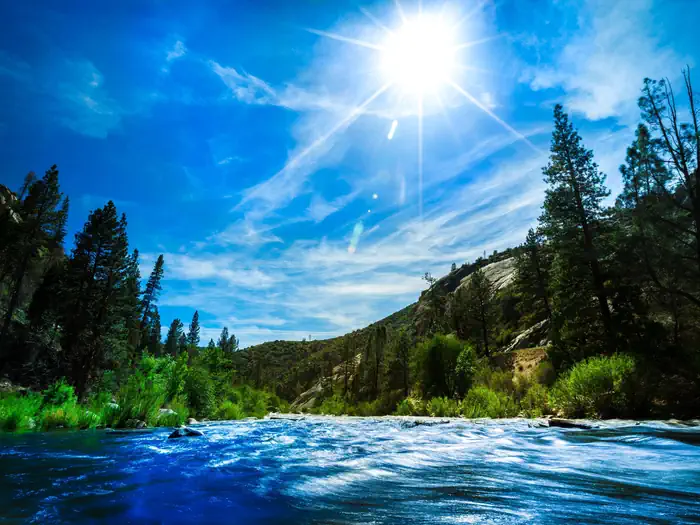

About Owens Peak Wilderness (Short Canyon)
Overview Owens Peak, the highest point in the southern Sierra Nevada Mountains at more than 8,400 feet, stands near the center of Owens Peak Wilderness. It presides over mountainous terrain with deep, winding canyons, many with rich riparian vegetation fed by bubbling springs. The Sierra Nevada meets the Great Basin and the Mojave Desert here, creating an unusual ecosystem. You'll find creosote bush scrub communities on the bajadas; scattered yuccas, cactuses, flowering annuals, cottonwoods, and oaks in the canyons and valleys; and juniper and piñon woodlands with sagebrush and digger pines on the upper elevations. Mule deer graze beneath golden eagles and prairie falcons. You may see evidence of active human use of this area dating back to prehistoric times. The Pacific Crest Trail crosse
When to go
Weather data & source
Each figure averages the highlighted months. 2018–2023 averages, not a forecast. Wet days estimate days with at least 1 mm of rain or snow using a calibrated ERA5 threshold. Contains modified Copernicus Climate Change Service information. Weather data by Open-Meteo.com (AWS Open Data, CC BY 4.0). ERA5 via Open-Meteo AWS Open Data
Plan your visit
Owens Peak Wilderness (Short Canyon) is managed by Bureau of Land Management. Check current conditions, permits, and reservations before you go.
See it on Recreation.gov →