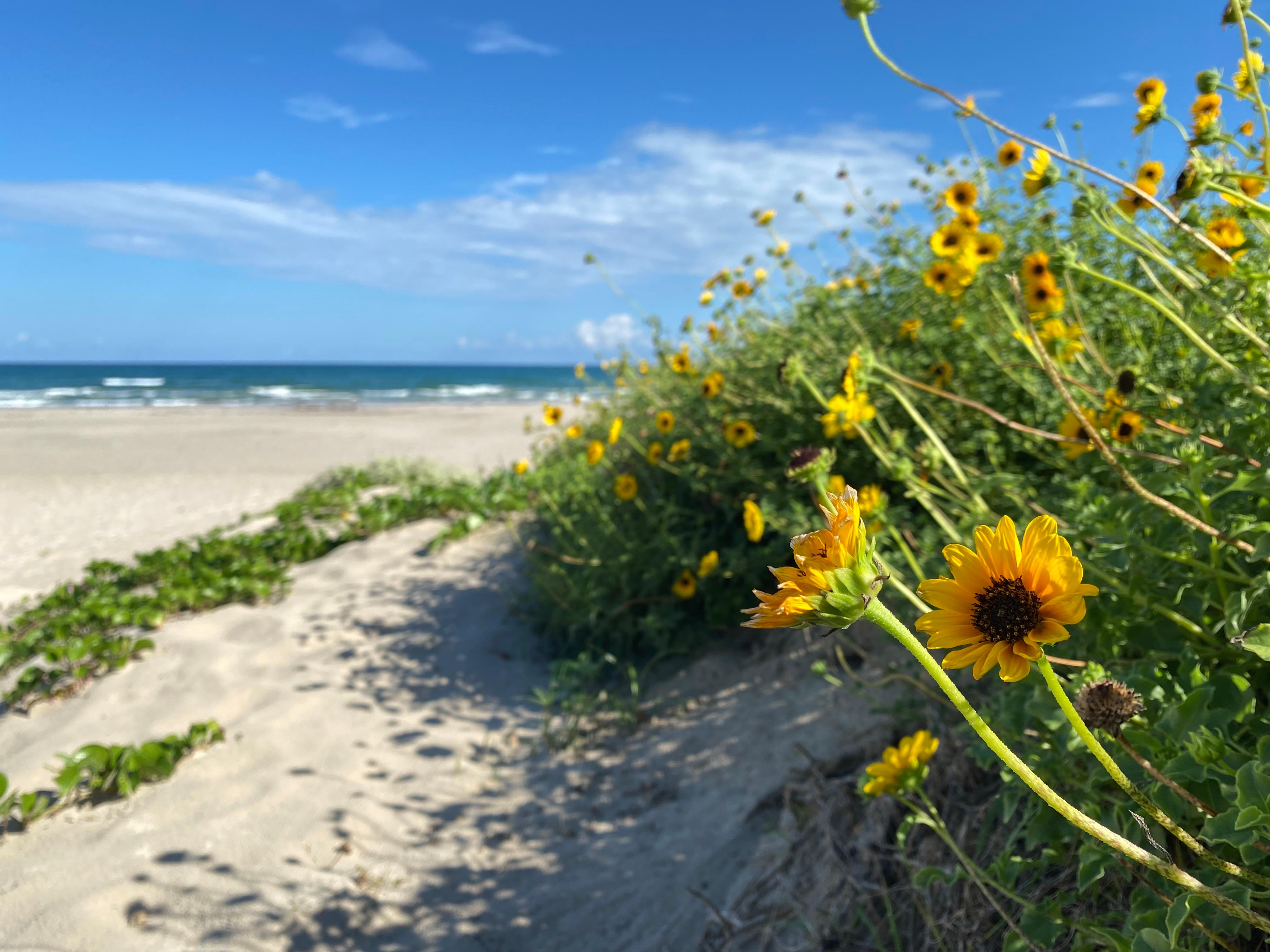

About Padre Island National Seashore
Protecting sixty-six miles of wild coastline along the Gulf of America, the narrow barrier island is home to one of the last intact coastal prairie habitats in the United States. Along the hypersaline Laguna Madre, tidal mud flats teem with life. Native Americans, Spanish explorers and cattle ranchers have walked along its shores. Padre Island National Seashore is waiting to be rediscovered.
When to go
Weather data & source
Each figure averages the highlighted months. 2018–2023 averages, not a forecast. Wet days estimate days with at least 1 mm of rain or snow using a calibrated ERA5 threshold. Contains modified Copernicus Climate Change Service information. Weather data by Open-Meteo.com (AWS Open Data, CC BY 4.0). ERA5 via Open-Meteo AWS Open Data
Plan your visit
Padre Island National Seashore is managed by National Park Service. Check current conditions, permits, and reservations before you go.
See it on Recreation.gov →