
About Point Reyes National Seashore
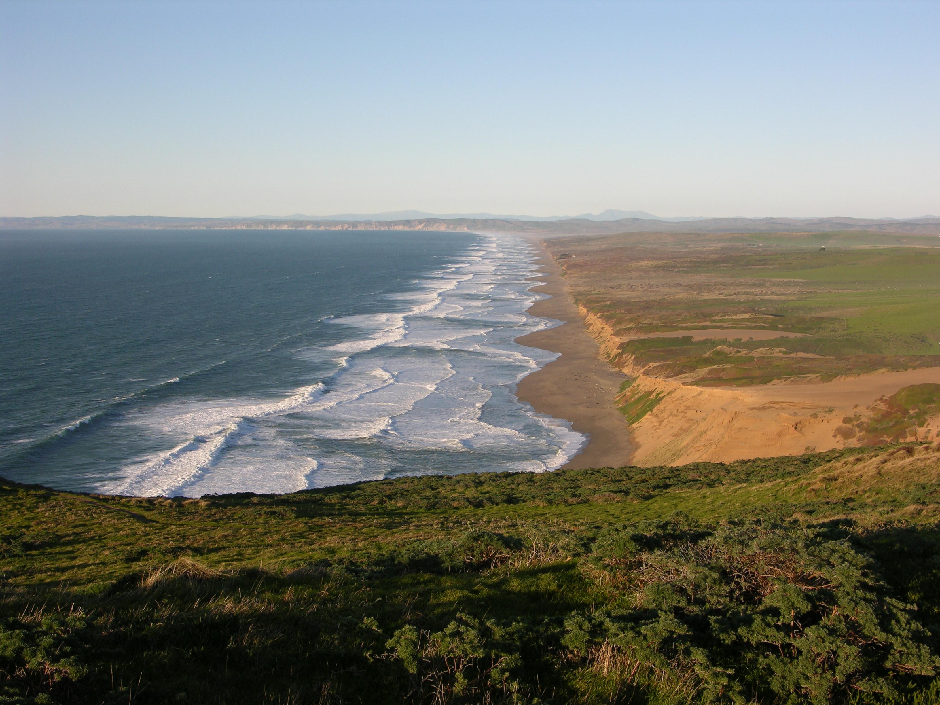
From its thunderous ocean breakers crashing against rocky headlands and expansive sand beaches to its open grasslands, brushy hillsides, and forested ridges, Point Reyes offers visitors over 1500 species of plants and animals to discover. Home to several cultures over thousands of years, the Seashore preserves a tapestry of stories and interactions of people. Point Reyes awaits your exploration.
Things to do
When to go
Weather data & source
Each figure averages the highlighted months. 2018–2023 averages, not a forecast. Wet days estimate days with at least 1 mm of rain or snow using a calibrated ERA5 threshold. Contains modified Copernicus Climate Change Service information. Weather data by Open-Meteo.com (AWS Open Data, CC BY 4.0). ERA5 via Open-Meteo AWS Open Data
Plan your visit
Point Reyes National Seashore is managed by National Park Service. Check current conditions, permits, and reservations before you go.
See it on Recreation.gov →