
About Rio Grande del Norte National Monument
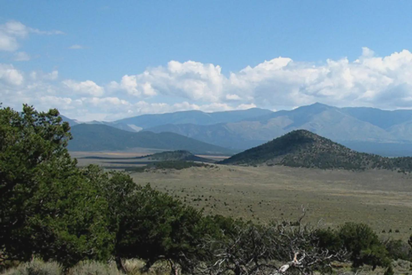
Shaped by millennia of geologic forces and human passage and presence, the Río Grande del Norte National Monument protects a stark and sweeping high-desert landscape where the Río Grande plunges through an 800‑foot gorge at the edge of the Taos Plateau. From the sagebrush plains at roughly 7,000 feet, extinct volcanic cones, Cerro de la Olla, Cerro San Antonio, and Cerro del Yuta, rise above canyons, wild rivers, and native grasslands that harbor vital wildlife habitat and unique scientific resources. Together, these features form an extraordinary mosaic of extreme beauty and daunting harshness, offering rare opportunities to understand the forces that shaped northern New Mexico’s diverse ecological systems and enduring human cultures. The Monument stretches from the border of Colorado to th
Things to do
When to go
Weather data & source
Each figure averages the highlighted months. 2018–2023 averages, not a forecast. Wet days estimate days with at least 1 mm of rain or snow using a calibrated ERA5 threshold. Contains modified Copernicus Climate Change Service information. Weather data by Open-Meteo.com (AWS Open Data, CC BY 4.0). ERA5 via Open-Meteo AWS Open Data
Plan your visit
Rio Grande del Norte National Monument is managed by Bureau of Land Management. Check current conditions, permits, and reservations before you go.
See it on Recreation.gov →