
About Sabinoso Wilderness Area
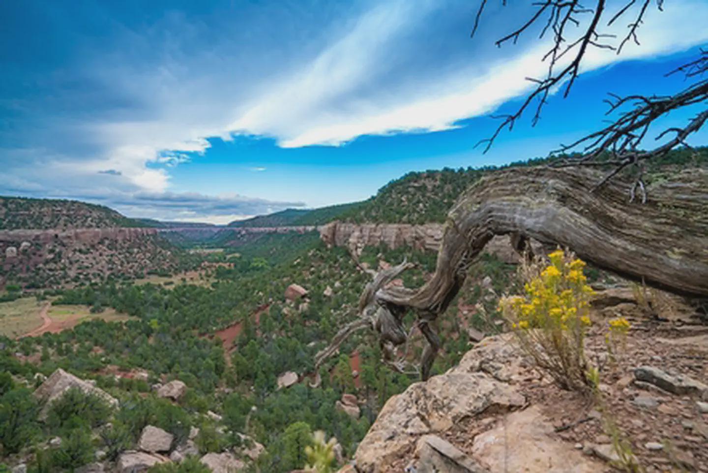
The Sabinoso Wilderness is a remote area in the northeastern portion of New Mexico. The Wilderness includes a series of high, narrow mesas surrounded by cliff-lined canyons. The rugged country primarily supports piñon pine and juniper woodlands with occasional clusters of ponderosa pine. A perennial warm season grass savanna is found on the mesa tops. Streams periodically flow in the canyon bottoms supporting riparian vegetation including willow and cottonwood. The deep canyon area, surrounded by the wide-open New Mexico plains, is unique for this region. The deep incisions cut by Cañon Olguin, Cañon Largo, and Lagartija Creek create a striking topographical and geological contrast in this otherwise flat terrain.
Things to do
When to go
Weather data & source
Each figure averages the highlighted months. 2018–2023 averages, not a forecast. Wet days estimate days with at least 1 mm of rain or snow using a calibrated ERA5 threshold. Contains modified Copernicus Climate Change Service information. Weather data by Open-Meteo.com (AWS Open Data, CC BY 4.0). ERA5 via Open-Meteo AWS Open Data
Plan your visit
Sabinoso Wilderness Area is managed by Bureau of Land Management. Check current conditions, permits, and reservations before you go.
See it on Recreation.gov →