
About Sacatar Trail Wilderness
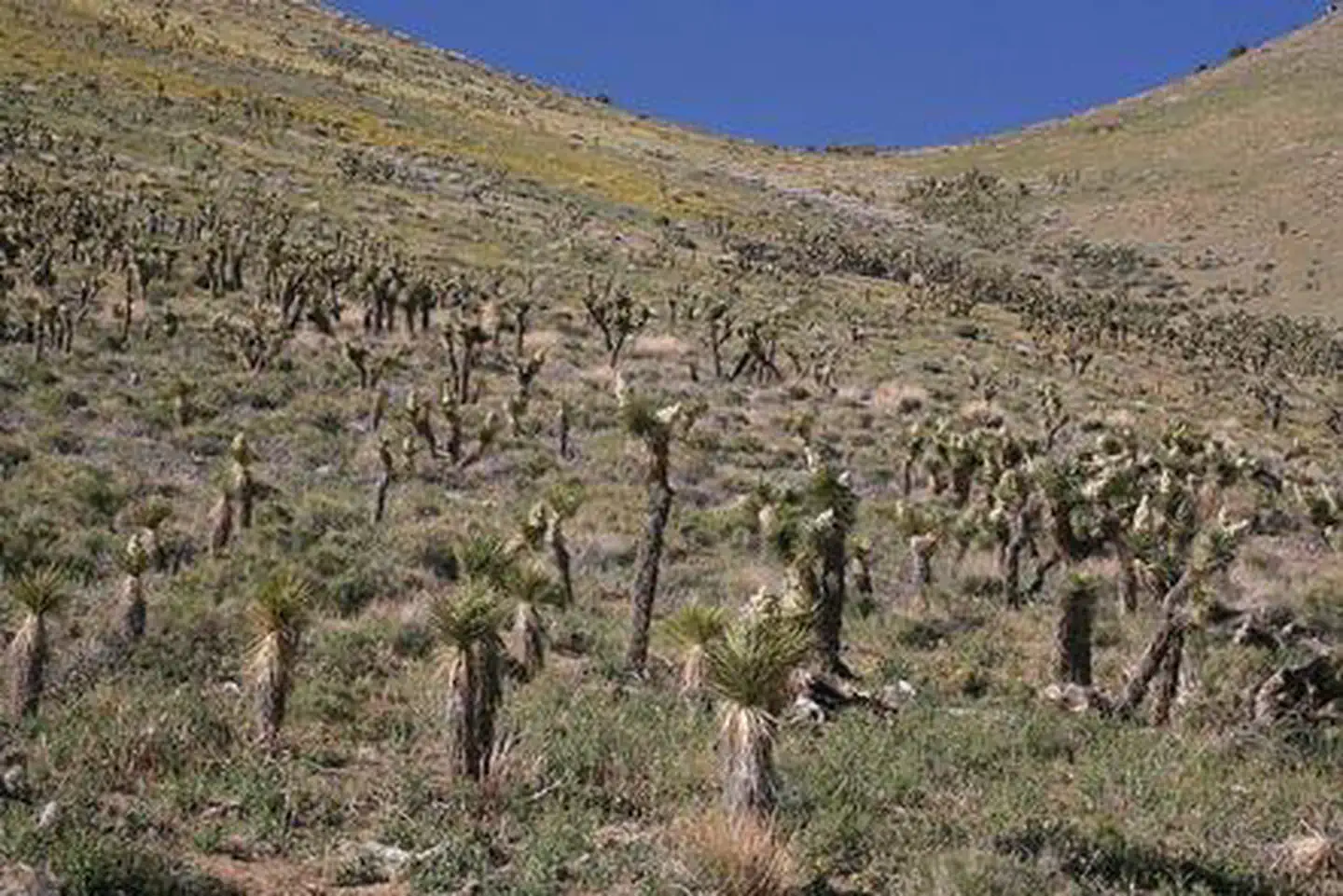
Sacatar Trail Wilderness, like Owens Peak Wilderness, includes the rugged, eastern face of the Sierra Nevada. Topography ranges from valleys, canyons, and alluvial fans to steep hills that lead into granite peaks and ridgetops reaching elevations of more than 7,800 feet. Several of the canyons are complemented by springs, which support the riparian habitats of cottonwoods, willows, and grasses. Wildlife within the area, including mule deer, golden eagles, prairie falcons, quails, and doves, can frequently be seen from hiking and horseback-riding trails. The Sacatar Trail, an old wagon road that is part of the scarce evidence of humans in this area, provides backcountry access into this wilderness.
Things to do
When to go
Low confidence for this location; local conditions may differ.
Weather data & source
Each figure averages the highlighted months. 2018–2023 averages, not a forecast. Wet days estimate days with at least 1 mm of rain or snow using a calibrated ERA5 threshold. Contains modified Copernicus Climate Change Service information. Weather data by Open-Meteo.com (AWS Open Data, CC BY 4.0). ERA5 via Open-Meteo AWS Open Data
Plan your visit
Sacatar Trail Wilderness is managed by Bureau of Land Management. Check current conditions, permits, and reservations before you go.
See it on Recreation.gov →