
About San Antonio Wilderness Study Area
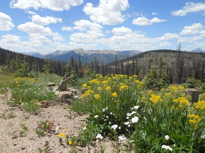
The San Antonio WSA is located in northern New Mexico. A flat plain at about 8,400 feet in elevation contains a gorge about 100 feet deep carved by the Rio San Antonio. Because of upstream diversions, the lower stretches of the river go dry in the summer. The plain is grass and shrub covered, while the gorge includes stretches with Douglas fir and spruce. Per the John D. Dingell, Jr. Conservation, Management, and Recreation Act which became law on March 12, 2019, this web page is currently being updated. To find more information on the new wilderness areas in New Mexico created by the Act, please visit: Wilderness Connect
Things to do
When to go
Weather data & source
Each figure averages the highlighted months. 2018–2023 averages, not a forecast. Wet days estimate days with at least 1 mm of rain or snow using a calibrated ERA5 threshold. Contains modified Copernicus Climate Change Service information. Weather data by Open-Meteo.com (AWS Open Data, CC BY 4.0). ERA5 via Open-Meteo AWS Open Data
Plan your visit
San Antonio Wilderness Study Area is managed by Bureau of Land Management. Check current conditions, permits, and reservations before you go.
See it on Recreation.gov →